


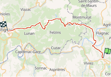

214 km | 295 km-effort

Gebruiker


Gratisgps-wandelapplicatie
 SityTrail
IGN / Geografische instituten
SityTrail World
De wereld gaat voor u open
Tocht Stappen van 29 km beschikbaar op Occitanië, Aveyron, Decazeville. Deze tocht wordt voorgesteld door lesduj.
Étape comportant une bonne partie de bitume pour se rendre à Figeac.
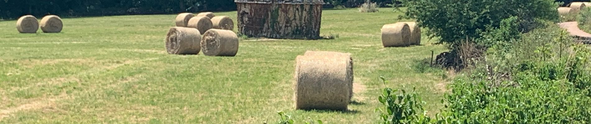
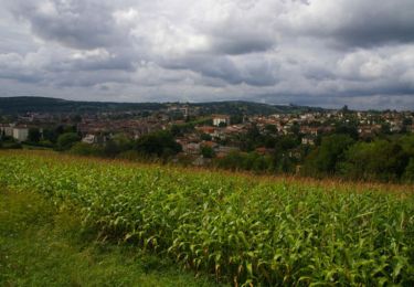
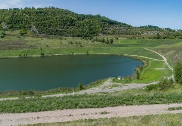
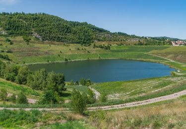
Les paysages restent magnifique toutefois.


Andere activiteiten
Stappen

Te voet
Te voet
Te voet
Te voet
Te voet

Te voet
Te voet