


33 km | 64 km-effort


Gebruiker


Gratisgps-wandelapplicatie
 SityTrail
IGN / Geografische instituten
SityTrail World
De wereld gaat voor u open
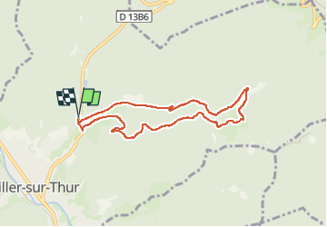
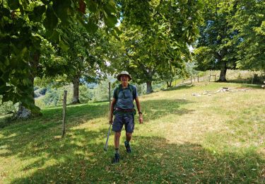
Tocht Stappen van 7,3 km beschikbaar op Grand Est, Haut-Rhin, Willer-sur-Thur. Deze tocht wordt voorgesteld door randoclas.
rando moyenne montagne. dénivelé moyen plus.

Andere activiteiten

Te voet

Stappen

Te voet
Stappen
Stappen
Stappen
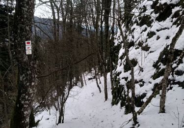
Sneeuwschoenen
Stappen