


Epinay

werth
Gebruiker
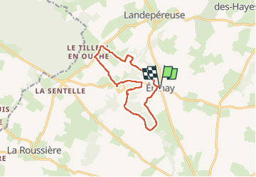

Lengte
11,8 km

Max. hoogte
191 m

Positief hoogteverschil
120 m
Km-Effort
13,4 km

Min. hoogte
155 m

Negatief hoogteverschil
120 m
Boucle
Ja
Datum van aanmaak :
2022-06-28 07:05:07.092
Laatste wijziging :
2022-07-03 07:46:32.919
2h52
Moeilijkheid : Medium

Gratisgps-wandelapplicatie
 SityTrail
IGN / Geografische instituten
SityTrail Plus
De wereld gaat voor u open
Over ons
Tocht Stappen van 11,8 km beschikbaar op Normandië, Eure, Mesnil-en-Ouche. Deze tocht wordt voorgesteld door werth.
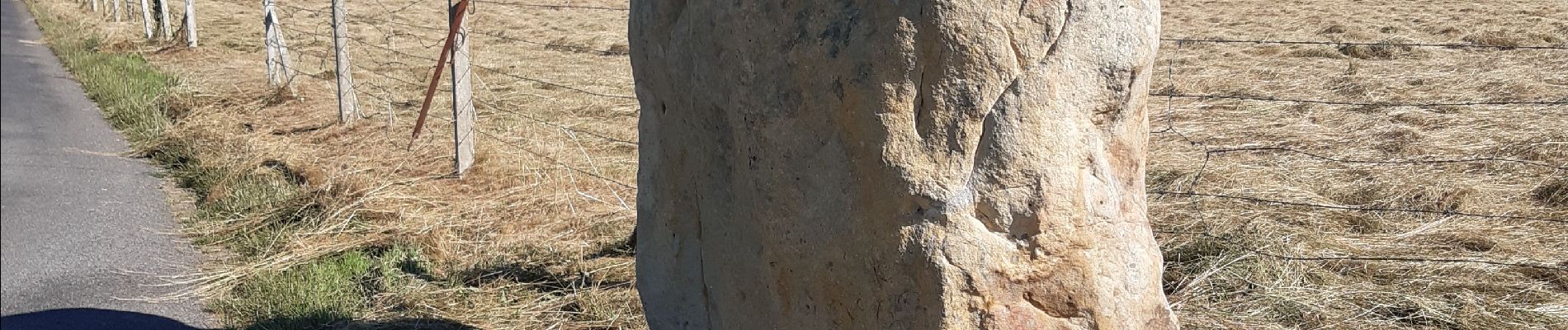
Foto's

Plaatsbepaling
Land:
France
Regio :
Normandië
Departement/Provincie :
Eure
Gemeente :
Mesnil-en-Ouche
Locatie:
Unknown
Vertrek:(Dec)
Vertrek:(UTM)
327468 ; 5428000 (31U) N.
Opmerkingen