


25 km | 30 km-effort


Gebruiker GUIDE


Gratisgps-wandelapplicatie
 SityTrail
IGN / Geografische instituten
SityTrail World
De wereld gaat voor u open
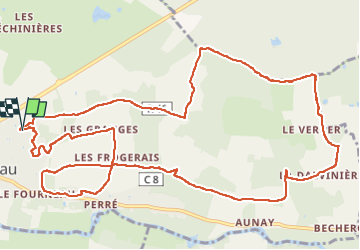
Tocht Stappen van 15,1 km beschikbaar op Centre-Val de Loire, Indre-et-Loire, Azay-le-Rideau. Deze tocht wordt voorgesteld door Orcal37.
Azay-le-Rideau - Goupillières Baulay - 15.1km 185m 3h35 - 2022 07 12


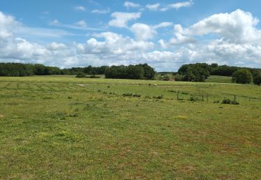
Stappen

Stappen

Stappen

Stappen
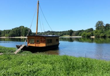
Stappen

Stappen

Fiets
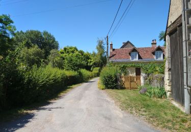
Stappen

Stappen