


Reallon - les Gourmiers via GR50 jusqu'à la cascade / retour via pont de Villard

stef789
Gebruiker GUIDE
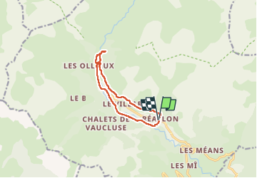

Lengte
11,2 km

Max. hoogte
1594 m

Positief hoogteverschil
428 m
Km-Effort
17 km

Min. hoogte
1322 m

Negatief hoogteverschil
435 m
Boucle
Ja
Datum van aanmaak :
2022-07-14 09:55:54.273
Laatste wijziging :
2022-07-14 15:39:54.573
5h41
Moeilijkheid : Gemakkelijk

Gratisgps-wandelapplicatie
 SityTrail
IGN / Geografische instituten
SityTrail Plus
De wereld gaat voor u open
Over ons
Tocht Stappen van 11,2 km beschikbaar op Provence-Alpes-Côte d'Azur, Hautes-Alpes, Réallon. Deze tocht wordt voorgesteld door stef789.
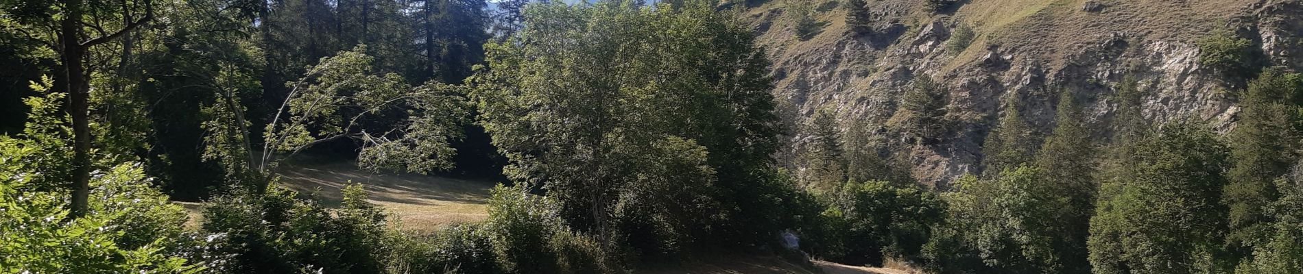
Foto's


22 fotos in totaal. Klik op een foto om ze allemaal in de galerij weer te geven.
Plaatsbepaling
Land:
France
Regio :
Provence-Alpes-Côte d'Azur
Departement/Provincie :
Hautes-Alpes
Gemeente :
Réallon
Locatie:
Unknown
Vertrek:(Dec)
Vertrek:(UTM)
290751 ; 4941406 (32T) N.
Opmerkingen