


J 7 TMV

lorenzot54
Gebruiker
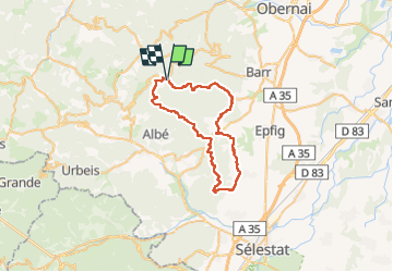

Lengte
44 km

Max. hoogte
833 m

Positief hoogteverschil
1232 m
Km-Effort
60 km

Min. hoogte
204 m

Negatief hoogteverschil
1243 m
Boucle
Ja
Datum van aanmaak :
2022-07-16 06:43:23.0
Laatste wijziging :
2022-07-16 20:02:01.37
3h52
Moeilijkheid : Zeer moeilijk

Gratisgps-wandelapplicatie
 SityTrail
IGN / Geografische instituten
SityTrail Plus
De wereld gaat voor u open
Over ons
Tocht Mountainbike van 44 km beschikbaar op Grand Est, Bas-Rhin, Le Hohwald. Deze tocht wordt voorgesteld door lorenzot54.
Plaatsbepaling
Land:
France
Regio :
Grand Est
Departement/Provincie :
Bas-Rhin
Gemeente :
Le Hohwald
Locatie:
Unknown
Vertrek:(Dec)
Vertrek:(UTM)
376796 ; 5362294 (32U) N.
Opmerkingen