


Initiation bivouac j1

alfreson
Gebruiker
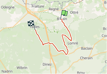

Lengte
18,5 km

Max. hoogte
606 m

Positief hoogteverschil
458 m
Km-Effort
25 km

Min. hoogte
474 m

Negatief hoogteverschil
439 m
Boucle
Neen
Datum van aanmaak :
2022-08-20 08:59:43.0
Laatste wijziging :
2022-08-20 14:11:31.372
4h17
Moeilijkheid : Medium

Gratisgps-wandelapplicatie
 SityTrail
IGN / Geografische instituten
SityTrail Plus
De wereld gaat voor u open
Over ons
Tocht Stappen van 18,5 km beschikbaar op Wallonië, Luxemburg, Vielsalm. Deze tocht wordt voorgesteld door alfreson.
Foto's


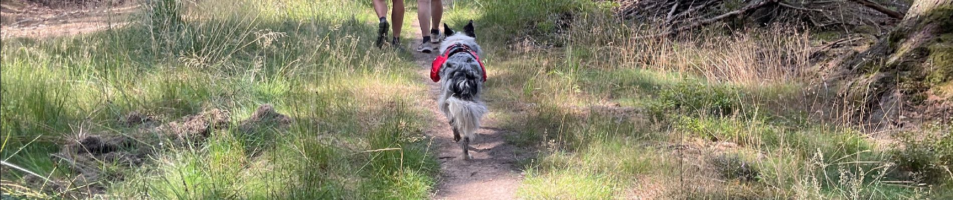
21 fotos in totaal. Klik op een foto om ze allemaal in de galerij weer te geven.
Plaatsbepaling
Land:
Belgium
Regio :
Wallonië
Departement/Provincie :
Luxemburg
Gemeente :
Vielsalm
Locatie:
Unknown
Vertrek:(Dec)
Vertrek:(UTM)
699992 ; 5568836 (31U) N.
Opmerkingen