


2022-08-30-01

Laurent53
Gebruiker
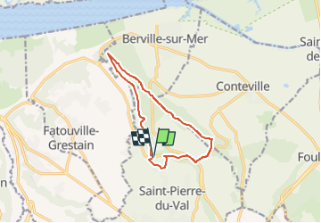

Lengte
10,4 km

Max. hoogte
108 m

Positief hoogteverschil
168 m
Km-Effort
12,6 km

Min. hoogte
33 m

Negatief hoogteverschil
174 m
Boucle
Ja
Datum van aanmaak :
2022-08-30 16:35:30.037
Laatste wijziging :
2022-08-31 06:33:47.499
2h52
Moeilijkheid : Gemakkelijk

Gratisgps-wandelapplicatie
 SityTrail
IGN / Geografische instituten
SityTrail Plus
De wereld gaat voor u open
Over ons
Tocht Te voet van 10,4 km beschikbaar op Normandië, Eure, Saint-Pierre-du-Val. Deze tocht wordt voorgesteld door Laurent53.
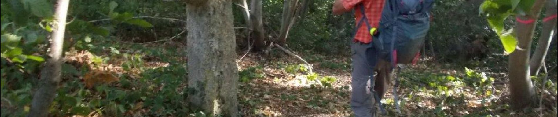
Foto's

Plaatsbepaling
Land:
France
Regio :
Normandië
Departement/Provincie :
Eure
Gemeente :
Saint-Pierre-du-Val
Locatie:
Unknown
Vertrek:(Dec)
Vertrek:(UTM)
308428 ; 5475343 (31U) N.
Opmerkingen