


anthines ac 4

colsonandre
Gebruiker

Lengte
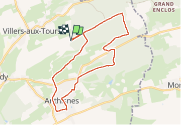
8,6 km

Max. hoogte
301 m

Positief hoogteverschil
191 m
Km-Effort
11,2 km

Min. hoogte
204 m

Negatief hoogteverschil
191 m
Boucle
Ja
Datum van aanmaak :
2022-09-08 07:19:27.337
Laatste wijziging :
2022-09-14 16:26:40.107
3h15
Moeilijkheid : Medium

Gratisgps-wandelapplicatie
 SityTrail
IGN / Geografische instituten
SityTrail Plus
De wereld gaat voor u open
Over ons
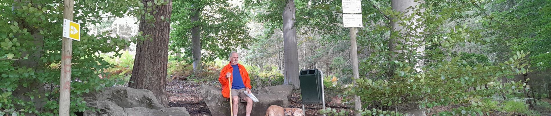
Tocht Stappen van 8,6 km beschikbaar op Wallonië, Luik, Anthisnes. Deze tocht wordt voorgesteld door colsonandre.
Beschrijving
très belle
Foto's


Plaatsbepaling
Land:
Belgium
Regio :
Wallonië
Departement/Provincie :
Luik
Gemeente :
Anthisnes
Locatie:
Unknown
Vertrek:(Dec)
Vertrek:(UTM)
679143 ; 5596682 (31U) N.
Opmerkingen