


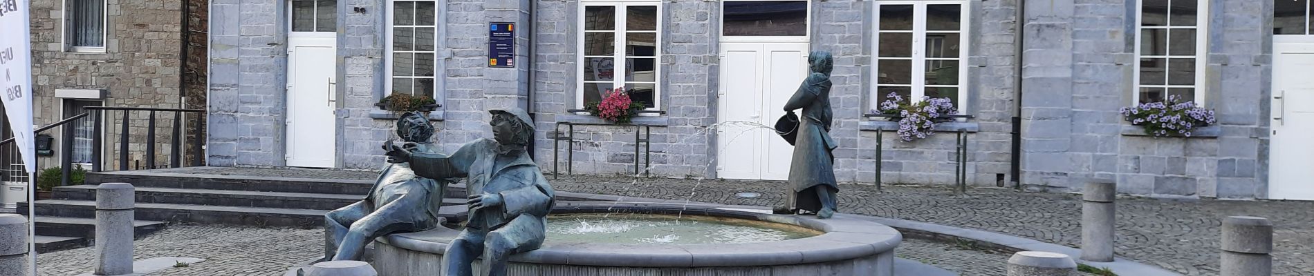
Mazée

mjh
Gebruiker
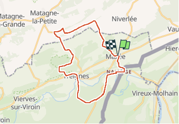

Lengte
14,9 km

Max. hoogte
281 m

Positief hoogteverschil
388 m
Km-Effort
20 km

Min. hoogte
118 m

Negatief hoogteverschil
387 m
Boucle
Ja
Datum van aanmaak :
2022-09-04 07:57:42.615
Laatste wijziging :
2022-09-10 11:39:17.216
4h07
Moeilijkheid : Gemakkelijk

Gratisgps-wandelapplicatie
 SityTrail
IGN / Geografische instituten
SityTrail Plus
De wereld gaat voor u open
Over ons
Tocht Stappen van 14,9 km beschikbaar op Wallonië, Namen, Viroinval. Deze tocht wordt voorgesteld door mjh.
Foto's


Plaatsbepaling
Land:
Belgium
Regio :
Wallonië
Departement/Provincie :
Namen
Gemeente :
Viroinval
Locatie:
Unknown
Vertrek:(Dec)
Vertrek:(UTM)
621443 ; 5551258 (31U) N.
Opmerkingen