


sart . croupets du moulin . royonpré . retour via l autre rive

stef789
Gebruiker GUIDE
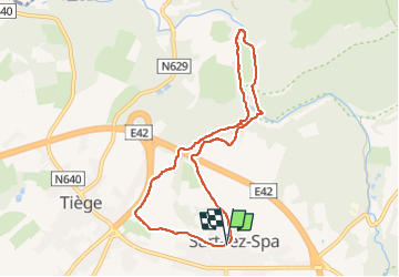

Lengte
7,4 km

Max. hoogte
375 m

Positief hoogteverschil
142 m
Km-Effort
9,3 km

Min. hoogte
269 m

Negatief hoogteverschil
141 m
Boucle
Ja
Datum van aanmaak :
2022-09-18 12:40:31.844
Laatste wijziging :
2022-09-18 15:03:50.437
2h21
Moeilijkheid : Gemakkelijk

Gratisgps-wandelapplicatie
 SityTrail
IGN / Geografische instituten
SityTrail Plus
De wereld gaat voor u open
Over ons
Tocht Stappen van 7,4 km beschikbaar op Wallonië, Luik, Jalhay. Deze tocht wordt voorgesteld door stef789.
Beschrijving
!!! attention !!! Le gué est un vrai gué le pont arrache par les inondations n est toujours pas reconstruit
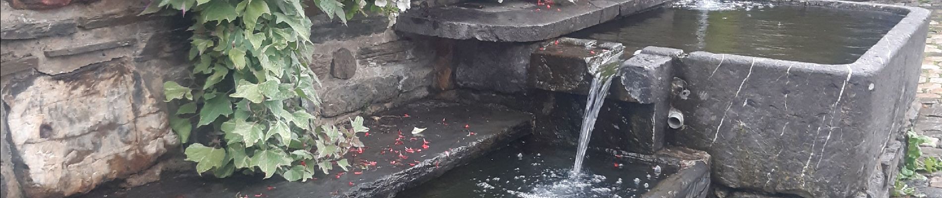
Foto's


Plaatsbepaling
Land:
Belgium
Regio :
Wallonië
Departement/Provincie :
Luik
Gemeente :
Jalhay
Locatie:
Unknown
Vertrek:(Dec)
Vertrek:(UTM)
707866 ; 5600227 (31U) N.
Opmerkingen