


sparmont ac 10

colsonandre
Gebruiker
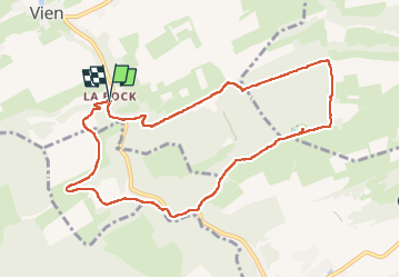

Lengte
9,2 km

Max. hoogte
275 m

Positief hoogteverschil
180 m
Km-Effort
11,6 km

Min. hoogte
144 m

Negatief hoogteverschil
180 m
Boucle
Ja
Datum van aanmaak :
2022-10-13 07:10:07.433
Laatste wijziging :
2022-10-13 10:16:45.79
3h06
Moeilijkheid : Medium

Gratisgps-wandelapplicatie
 SityTrail
IGN / Geografische instituten
SityTrail Plus
De wereld gaat voor u open
Over ons
Tocht Stappen van 9,2 km beschikbaar op Wallonië, Luik, Anthisnes. Deze tocht wordt voorgesteld door colsonandre.
Beschrijving
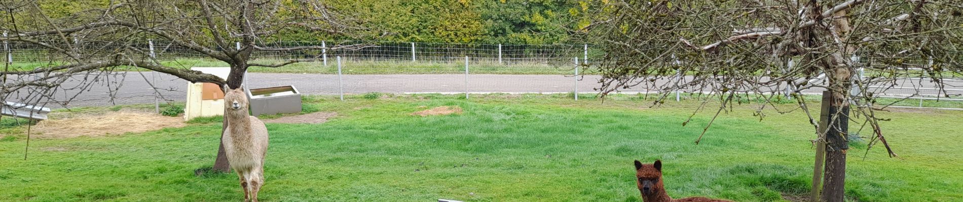
très très belle, magnifique
Foto's


Plaatsbepaling
Land:
Belgium
Regio :
Wallonië
Departement/Provincie :
Luik
Gemeente :
Anthisnes
Locatie:
Unknown
Vertrek:(Dec)
Vertrek:(UTM)
678500 ; 5593378 (31U) N.
Opmerkingen