


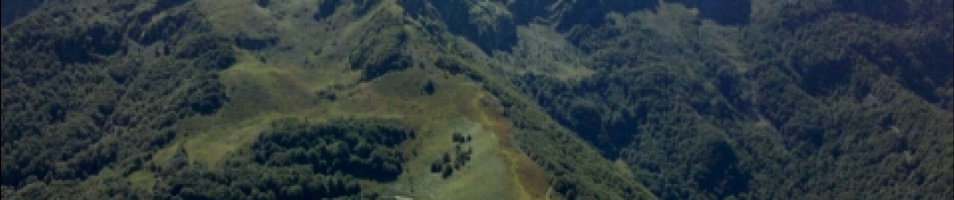
Pyrénées-140903 - CapBouirex

randodan
Gebruiker
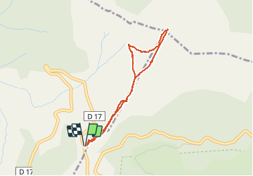

Lengte
4,8 km

Max. hoogte
1859 m

Positief hoogteverschil
455 m
Km-Effort
10,9 km

Min. hoogte
1390 m

Negatief hoogteverschil
460 m
Boucle
Ja
Datum van aanmaak :
2014-12-10 00:00:00.0
Laatste wijziging :
2014-12-10 00:00:00.0
5h15
Moeilijkheid : Moeilijk

Gratisgps-wandelapplicatie
 SityTrail
IGN / Geografische instituten
SityTrail Plus
De wereld gaat voor u open
Over ons
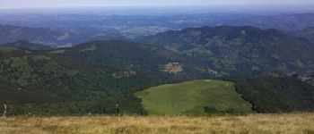
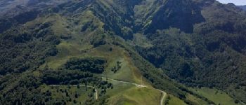
Tocht Stappen van 4,8 km beschikbaar op Occitanië, Ariège, Bethmale. Deze tocht wordt voorgesteld door randodan.
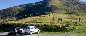
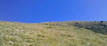
Foto's


Plaatsbepaling
Land:
France
Regio :
Occitanië
Departement/Provincie :
Ariège
Gemeente :
Bethmale
Locatie:
Unknown
Vertrek:(Dec)
Vertrek:(UTM)
345199 ; 4746903 (31T) N.
Opmerkingen