Tocht Stappen Athée-sur-Cher - Athée sur Cher - Photo
 danaubrac
danaubrac

Gebruiker

© OpenStreetMap contributors
Lengte
Lengte
21 km
Max. hoogte
Max. hoogte
98 m
Positief hoogteverschil
164 m
Km-Effort
Km-Effort  
23 km
Min. hoogte
Min. hoogte
55 m
Negatief hoogteverschil
163 m
Boucle
Boucle
Ja
Datum van aanmaak :
2015-10-10 00:00:00.0
Laatste wijziging :
2015-10-10 00:00:00.0

(1 Bericht)

Stappen
Stappen
4h15
Moeilijkheid : Gemakkelijk

Scan deze QR-code om de tocht te openen in de SityTrail-applicatie

Gratisgps-wandelapplicatie

Logo SityTrail SityTrail

IGN / Geografische instituten

SityTrail uit de App Store downloaden SityTrail uit Google Play downloaden

Logo SityTrail SityTrail World

De wereld gaat voor u open

SityTrail uit de App Store downloaden SityTrail uit Google Play downloaden SityTrail op Huawei AppGallery downloaden

Over ons

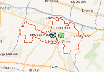
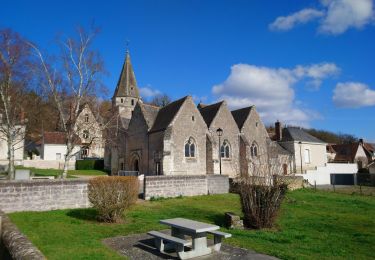
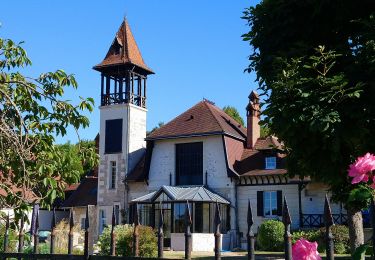
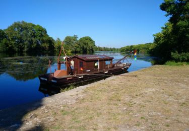
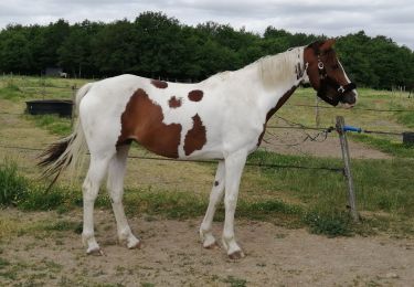
Tocht Stappen van 21 km beschikbaar op Centre-Val de Loire, Indre-et-Loire, Athée-sur-Cher. Deze tocht wordt voorgesteld door danaubrac.

Beschrijving

Grand tour de la commune, à travers champs, bois et vignes
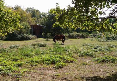
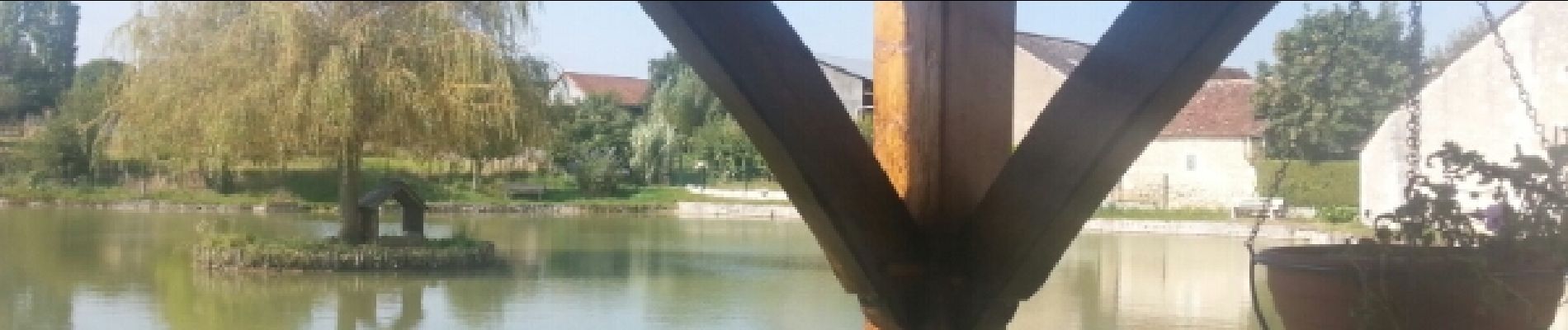
Hoogteprofiel

Foto's

Plaatsbepaling

Land:
France
Regio :
Centre-Val de Loire
Departement/Provincie :
Indre-et-Loire
Gemeente :
Athée-sur-Cher
Locatie:
Unknown
Vertrek:(Dec)
Vertrek:(UTM)
342515 ; 5242917 (31T) N.

Opmerkingen

Gelieve in te loggen om een commentaar of een beoordeling achter te laten


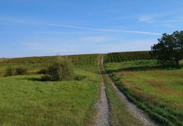
Champs, champs, vignes et ...champs.


Wandeltochten in de omgeving

Tocht Stappen Saint-Martin-le-Beau - Saint-Martin-le-Beau - PR Entre Vignes et Forêts - 11.8km 120m 2h45 (45mn) - 2023 10 07 - Photo
Stappen
GUIDE
Orcal37

Stappen

Medium
Saint-Martin-le-Beau, Centre-Val de Loire, Indre-et-Loire, France
11,8 km | 13,4 km-effort
2h 45min
Ja
Tocht Stappen Saint-Martin-le-Beau - Saint-Martin-le-Beau - Nitray GR41 Azay-sur-Cher - 23.2km 185m 5h15 (40mn) - 2023 10 04 - Photo
Stappen
GUIDE
Orcal37

Stappen

Gemakkelijk
Saint-Martin-le-Beau, Centre-Val de Loire, Indre-et-Loire, France
23 km | 26 km-effort
5h 15min
Ja
Tocht Stappen Dierre - Dierre - St-Martin-le-Beau - 15.9km 230m 3h35 - 2023 02 26 - Photo
Stappen
GUIDE
Orcal37

Stappen

Gemakkelijk
Dierre, Centre-Val de Loire, Indre-et-Loire, France
15,9 km | 19 km-effort
3h 35min
Ja
Tocht Stappen Bléré - Bléré - Fontenay - 15.9km 145m 3h45 - 2022 07 31 - Photo
Stappen
GUIDE
Orcal37

Stappen

Gemakkelijk
Bléré, Centre-Val de Loire, Indre-et-Loire, France
15,9 km | 17,8 km-effort
3h 45min
Ja
Tocht Stappen Athée-sur-Cher - Athée-sur-Cher - Port Chandon - 18km 140m 4h05 - 2022 07 24 - Photo
Stappen
GUIDE
Orcal37

Stappen

Gemakkelijk
Athée-sur-Cher, Centre-Val de Loire, Indre-et-Loire, France
18 km | 19,8 km-effort
4h 5min
Ja
Tocht Stappen Athée-sur-Cher - Athée-sur-Cher - la Halbutterie - 18.6km 155m 3h50 - 2006 05 14 - Photo
Stappen
GUIDE
Orcal37

Stappen

Gemakkelijk
Athée-sur-Cher, Centre-Val de Loire, Indre-et-Loire, France
18,6 km | 21 km-effort
3h 50min
Ja
Tocht Stappen Saint-Martin-le-Beau - st martin le beau - Photo
Stappen
fustier

Stappen

Heel gemakkelijk
Saint-Martin-le-Beau, Centre-Val de Loire, Indre-et-Loire, France
25 km | 29 km-effort
5h 54min
Neen
Tocht Stappen Athée-sur-Cher - Nitray - Bléré - AR - 2015 11 15 - Photo
Stappen
GUIDE
Orcal37

Stappen

Gemakkelijk
Athée-sur-Cher, Centre-Val de Loire, Indre-et-Loire, France
13,8 km | 15,5 km-effort
2h 25min
Ja
Tocht Stappen Saint-Martin-le-Beau - Touraine  - Photo
Stappen
Patlac3

Stappen

Medium
Saint-Martin-le-Beau, Centre-Val de Loire, Indre-et-Loire, France
7,2 km | 8,2 km-effort
1h 55min
Ja


Sluiten
Mijn abonnementen