


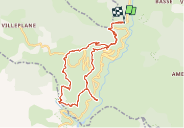

9,7 km | 18,3 km-effort

Gebruiker


Gratisgps-wandelapplicatie
 SityTrail
IGN / Geografische instituten
SityTrail World
De wereld gaat voor u open
Tocht Stappen van 13,4 km beschikbaar op Provence-Alpes-Côte d'Azur, Alpes-Maritimes, Guillaumes. Deze tocht wordt voorgesteld door Orcal37.
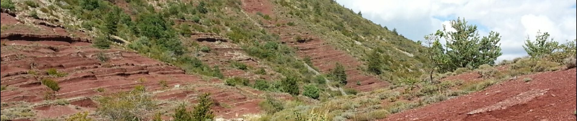
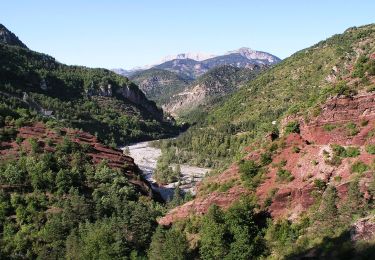
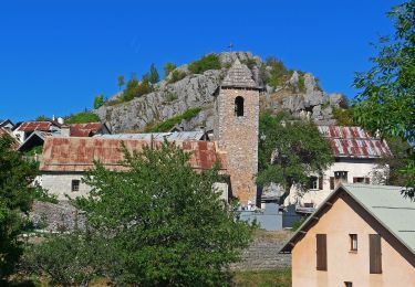
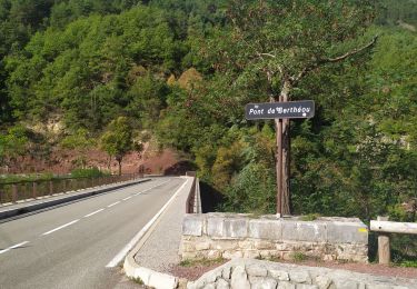
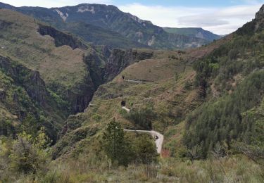
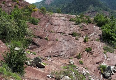
Gorges de Daluis - Boucle au départ du pont de Cante ; via le pont de Barathéou ; et AR au point sublime


Te voet
Te voet

Stappen
Stappen

Te voet
Stappen
Stappen
Stappen
Stappen