


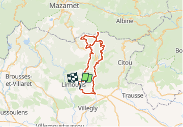


18,2 km | 26 km-effort


Gebruiker

Gratisgps-wandelapplicatie
 SityTrail
IGN / Geografische instituten
SityTrail World
De wereld gaat voor u open
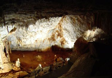
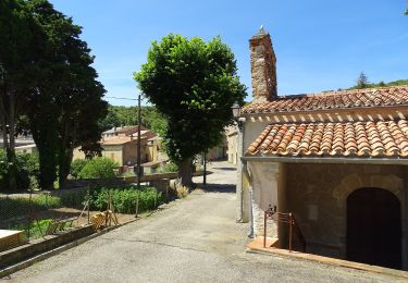
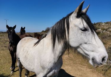
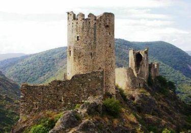
Tocht Stappen van 65 km beschikbaar op Occitanië, Aude, Sallèles-Cabardès. Deze tocht wordt voorgesteld door jacques delaporte.
Belle randonnée, Vu le nombre de kms,il faut faire des étapes Bivouac ou gîtes.
j'avoue être fatigué 😔


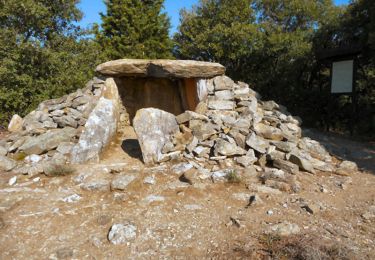
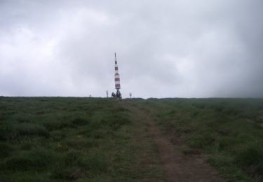
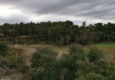
48 fotos in totaal. Klik op een foto om ze allemaal in de galerij weer te geven.
Stappen
Mountainbike
Te voet
Te voet

Te voet

Stappen
Stappen