


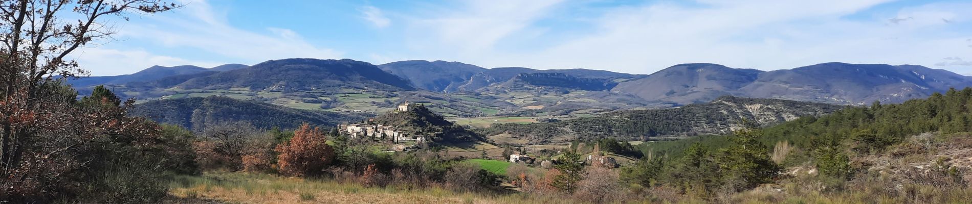
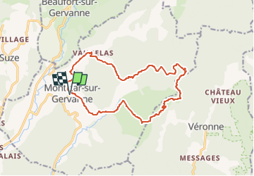
Montclar sur Gervanne-Col Gerbe-Chple St Christophe 17km

thonyc
Gebruiker GUIDE


5h20
Moeilijkheid : Medium

Gratisgps-wandelapplicatie
 SityTrail
IGN / Geografische instituten
SityTrail Plus
De wereld gaat voor u open
Over ons
Tocht Stappen van 16,6 km beschikbaar op Auvergne-Rhône-Alpes, Drôme, Montclar-sur-Gervanne. Deze tocht wordt voorgesteld door thonyc.
Beschrijving
Jolis villages, ne pas hésiter à monter jusqu'à l'église St Marcel, vues magnifiques sur la vallée de La Gervanne, le synclinal de St pancrace et la faille géologique de Gigors.
Foto's


Plaatsbepaling
Opmerkingen