


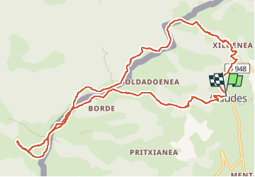

12,8 km | 22 km-effort

Gebruiker


Gratisgps-wandelapplicatie
 SityTrail
IGN / Geografische instituten
SityTrail World
De wereld gaat voor u open
Tocht Stappen van 14 km beschikbaar op Nieuw-Aquitanië, Pyrénées-Atlantiques, Aldudes. Deze tocht wordt voorgesteld door ChristopheLefauconnier.


Te voet
Stappen
Stappen
Stappen
Stappen
Stappen
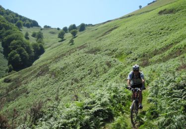
Mountainbike
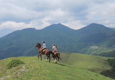
Paard
Mountainbike