


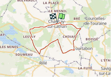

15,6 km | 17,1 km-effort


Gebruiker


Gratisgps-wandelapplicatie
 SityTrail
IGN / Geografische instituten
SityTrail World
De wereld gaat voor u open
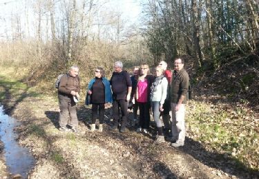
Tocht Stappen van 14,1 km beschikbaar op Centre-Val de Loire, Indre-et-Loire, Channay-sur-Lathan. Deze tocht wordt voorgesteld door Orcal37.
Channay-sur-Lathan - GRP Castelvalérie PR Rillé - 14.1km 85m 3h10 - 2023 05 27


Stappen
Stappen
Stappen

Stappen
Stappen
Stappen

Stappen

Fietstoerisme
Mountainbike