


Île de Batz

nolsim
Gebruiker
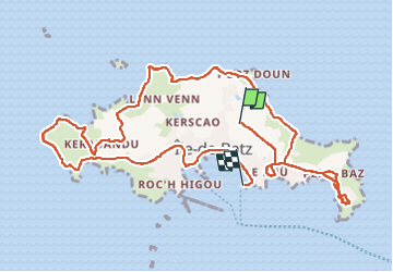

Lengte
12,5 km

Max. hoogte
27 m

Positief hoogteverschil
138 m
Km-Effort
14,4 km

Min. hoogte
0 m

Negatief hoogteverschil
151 m
Boucle
Neen
Datum van aanmaak :
2023-06-01 08:29:12.311
Laatste wijziging :
2023-06-01 13:31:48.779
5h02
Moeilijkheid : Gemakkelijk

Gratisgps-wandelapplicatie
 SityTrail
IGN / Geografische instituten
SityTrail Plus
De wereld gaat voor u open
Over ons
Tocht Stappen van 12,5 km beschikbaar op Bretagne, Finistère, Île-de-Batz. Deze tocht wordt voorgesteld door nolsim.
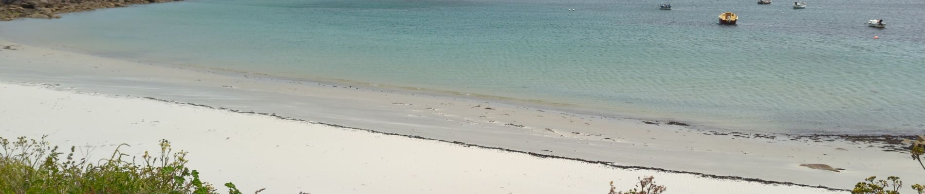
Foto's


Plaatsbepaling
Land:
France
Regio :
Bretagne
Departement/Provincie :
Finistère
Gemeente :
Île-de-Batz
Locatie:
Unknown
Vertrek:(Dec)
Vertrek:(UTM)
425828 ; 5399849 (30U) N.
Opmerkingen