


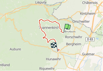

19,3 km | 24 km-effort

Gebruiker


Gratisgps-wandelapplicatie
 SityTrail
IGN / Geografische instituten
SityTrail World
De wereld gaat voor u open
Tocht Mountainbike van 16,7 km beschikbaar op Grand Est, Haut-Rhin, Rodern. Deze tocht wordt voorgesteld door moser.
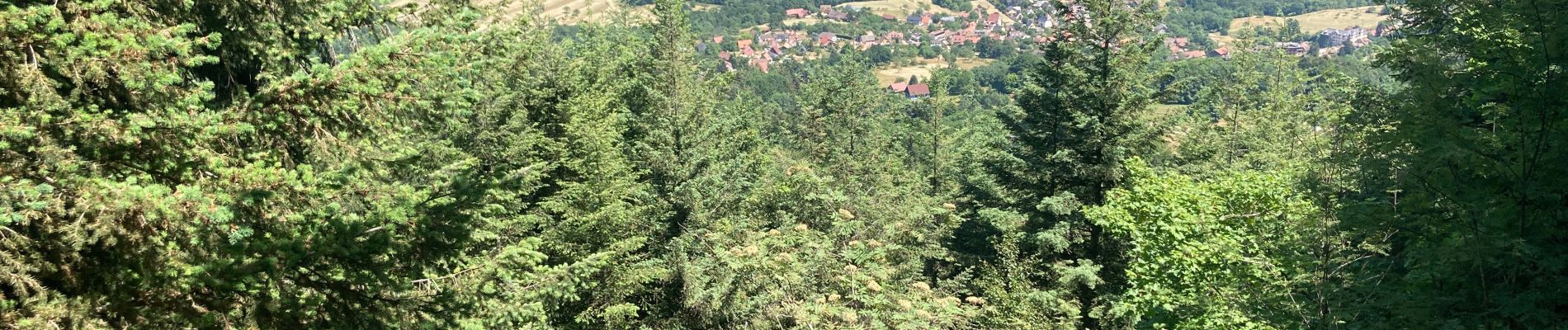
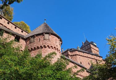
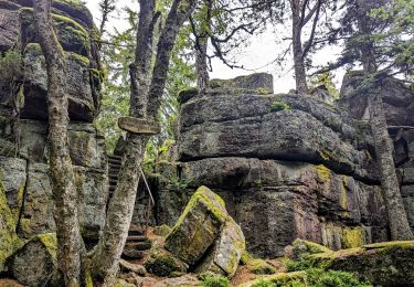
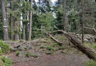
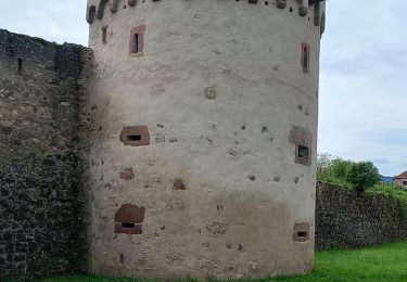
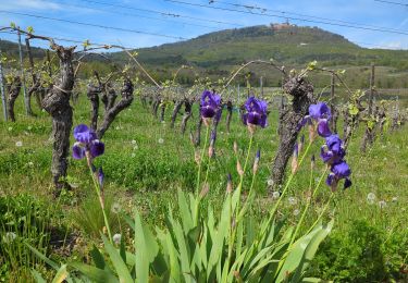
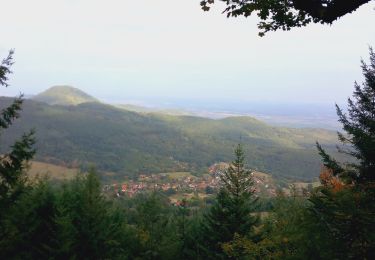
Superbe parcours qui part des vignes, longe le Chateau du Reichberg, grimpe dans la forêt vers Schaetzel et suit la crête du Taennchel pour finir dans la vllée en passant à côté des 3 chateaux.


Mountainbike
Stappen
Stappen

Stappen
Stappen
Stappen
Stappen
Stappen
Mountainbike