


17,1 km | 21 km-effort


Gebruiker


Gratisgps-wandelapplicatie
 SityTrail
IGN / Geografische instituten
SityTrail World
De wereld gaat voor u open
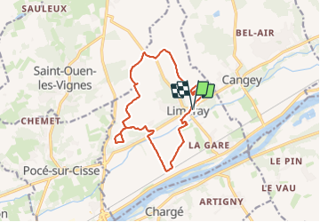
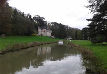
Tocht Stappen van 14,2 km beschikbaar op Centre-Val de Loire, Indre-et-Loire, Limeray. Deze tocht wordt voorgesteld door Orcal37.
Limeray - Sentier des terroirs - 14.2km 115m 3h25 - 2023 06 25


Stappen
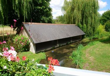
Stappen

Stappen

Stappen

Stappen
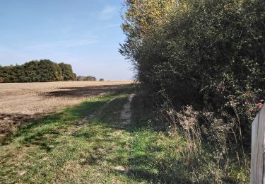
Stappen

Stappen
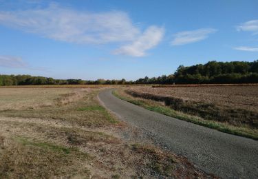
Stappen
Stappen