


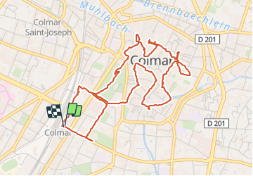

22 km | 32 km-effort

Gebruiker


Gratisgps-wandelapplicatie
 SityTrail
IGN / Geografische instituten
SityTrail World
De wereld gaat voor u open
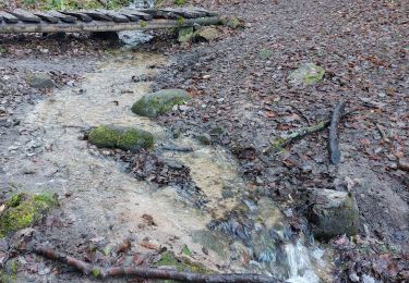
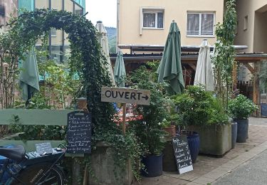
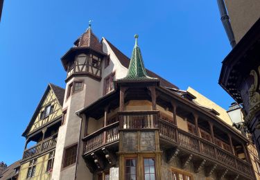
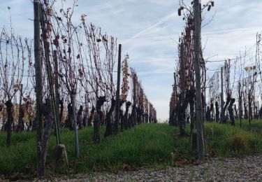
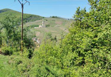
Tocht Stappen van 6,4 km beschikbaar op Grand Est, Haut-Rhin, Colmar. Deze tocht wordt voorgesteld door Godasses et Grosses Pattes.
boucle pour découvrir Colmar
et stationnement au parking de la gare du nord (payant du lundi au samedi de 9h-19h 1,90 de l'heure)


Stappen

Lopen

Stappen
Stappen
Stappen
Wegfiets
Stappen
Stappen
Stappen