


2023 06 21 les xorges

elorthiois
Gebruiker
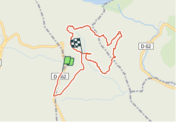

Lengte
4,5 km

Max. hoogte
813 m

Positief hoogteverschil
68 m
Km-Effort
5,4 km

Min. hoogte
764 m

Negatief hoogteverschil
82 m
Boucle
Neen
Datum van aanmaak :
2023-06-21 12:13:20.447
Laatste wijziging :
2023-08-02 14:17:54.221
1h51
Moeilijkheid : Gemakkelijk

Gratisgps-wandelapplicatie
 SityTrail
IGN / Geografische instituten
SityTrail Plus
De wereld gaat voor u open
Over ons
Tocht Stappen van 4,5 km beschikbaar op Occitanië, Aude, Cuxac-Cabardès. Deze tocht wordt voorgesteld door elorthiois.
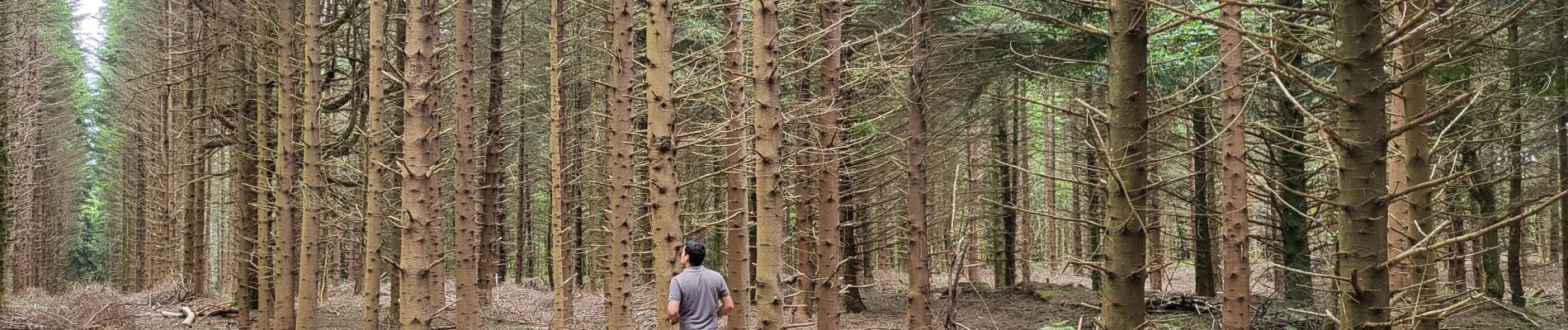
Foto's


Plaatsbepaling
Land:
France
Regio :
Occitanië
Departement/Provincie :
Aude
Gemeente :
Cuxac-Cabardès
Locatie:
Unknown
Vertrek:(Dec)
Vertrek:(UTM)
440711 ; 4806033 (31T) N.
Opmerkingen