


Etape 5 Bastide Puy Laurent/ le Bleymard

Nathalie. Mercier
Gebruiker
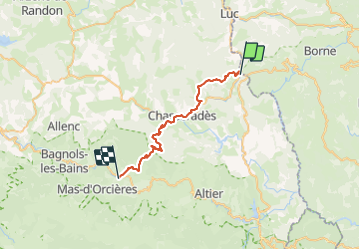


7h18
Moeilijkheid : Moeilijk

Gratisgps-wandelapplicatie
 SityTrail
IGN / Geografische instituten
SityTrail Plus
De wereld gaat voor u open
Over ons
Tocht Stappen van 30 km beschikbaar op Occitanië, Lozère, La Bastide-Puylaurent. Deze tocht wordt voorgesteld door Nathalie. Mercier.
Beschrijving
Attention au petit déjeuner trop copieux , le chemin monte progressivement, ne pas se charger en eau il y a ce qu il faut à Chasseradés ainsi qu une épicerie...
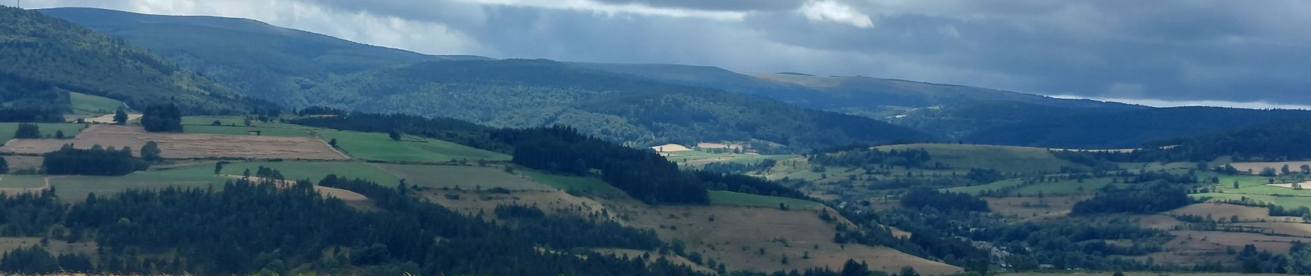
très belle étape on peut aussi bien s'arrêter à Chasseradés pour les moins sportifs , plusieurs petits villages attention au ,(2 carrefours) la pause peu être fraîche et plein vent se veiller la météo ne pas oublier sa polaire traversée du bois agréable ...et l arrivée très appréciée
Foto's


Plaatsbepaling
Opmerkingen