


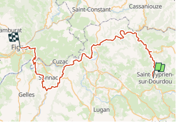
Saint cyprien figeai

Glurps
Gebruiker

Lengte
72 km

Max. hoogte
385 m

Positief hoogteverschil
1151 m
Km-Effort
88 km

Min. hoogte
162 m

Negatief hoogteverschil
1194 m
Boucle
Neen
Datum van aanmaak :
2023-08-10 07:38:56.0
Laatste wijziging :
2023-08-10 14:25:11.188

Gratisgps-wandelapplicatie
 SityTrail
IGN / Geografische instituten
SityTrail Plus
De wereld gaat voor u open
Over ons
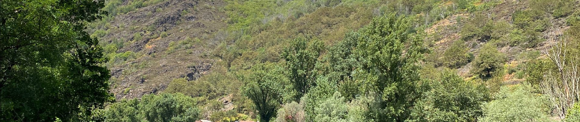
Tocht van 72 km beschikbaar op Occitanië, Aveyron, Conques-en-Rouergue. Deze tocht wordt voorgesteld door Glurps.
Foto's


Plaatsbepaling
Land:
France
Regio :
Occitanië
Departement/Provincie :
Aveyron
Gemeente :
Conques-en-Rouergue
Locatie:
Saint-Cyprien-sur-Dourdou
Vertrek:(Dec)
Vertrek:(UTM)
452635 ; 4932712 (31T) N.
Opmerkingen