


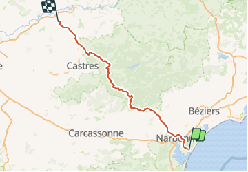

15,5 km | 21 km-effort


Gebruiker


Gratisgps-wandelapplicatie
 SityTrail
IGN / Geografische instituten
SityTrail World
De wereld gaat voor u open
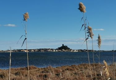
Tocht Moto-cross van 171 km beschikbaar op Occitanië, Aude, Gruissan. Deze tocht wordt voorgesteld door jpipacific.
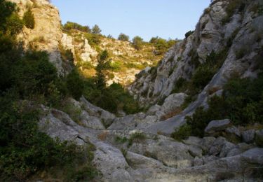
Des petites routes avec un passage de 5 kms par une piste très facile.
Fait avec Honda CRF 1000 DCT en duo.
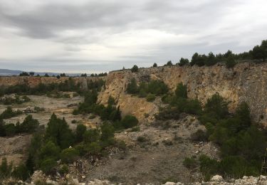
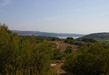
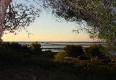
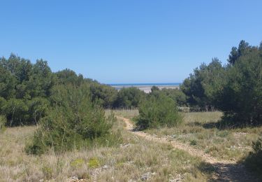
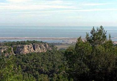
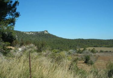
De jolis payasages sauvages de la montagne Noire.


Stappen
Stappen
Mountainbike
Stappen
Stappen
Mountainbike

Stappen
Stappen