


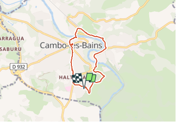

18,3 km | 29 km-effort

Gebruiker GUIDE


Gratisgps-wandelapplicatie
 SityTrail
IGN / Geografische instituten
SityTrail World
De wereld gaat voor u open
Tocht Stappen van 6 km beschikbaar op Nieuw-Aquitanië, Pyrénées-Atlantiques, Cambo-les-Bains. Deze tocht wordt voorgesteld door marmotte65.
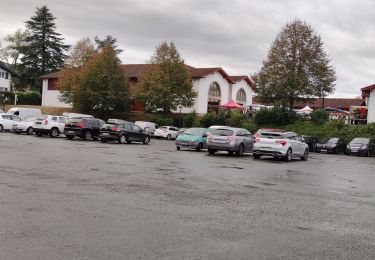
Choisissez votre lieu de départ, et c'est parti.
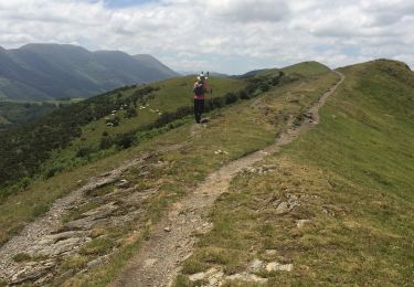
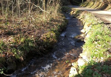
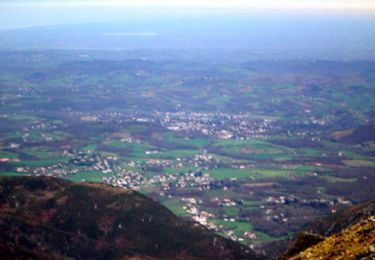
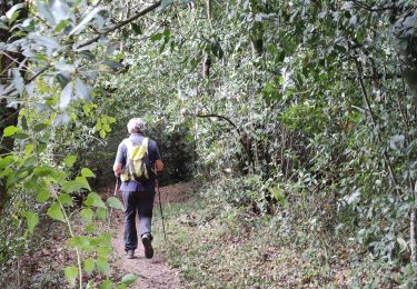
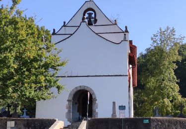
Une jolie balade avec quelques beaux points de vue et la découverte d'endroits caches de Cambo.


Stappen
Stappen
Stappen

Stappen
Stappen
Stappen
Stappen

Stappen
Stappen