


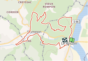
Le Pouzin-Couvent des Chèvres-Gommée 15km

thonyc
Gebruiker GUIDE


5h13
Moeilijkheid : Zeer moeilijk

Gratisgps-wandelapplicatie
 SityTrail
IGN / Geografische instituten
SityTrail Plus
De wereld gaat voor u open
Over ons
Tocht Stappen van 14,8 km beschikbaar op Auvergne-Rhône-Alpes, Ardèche, Le Pouzin. Deze tocht wordt voorgesteld door thonyc.
Beschrijving
Jolie randos, paysages variés, beaux panoramas.
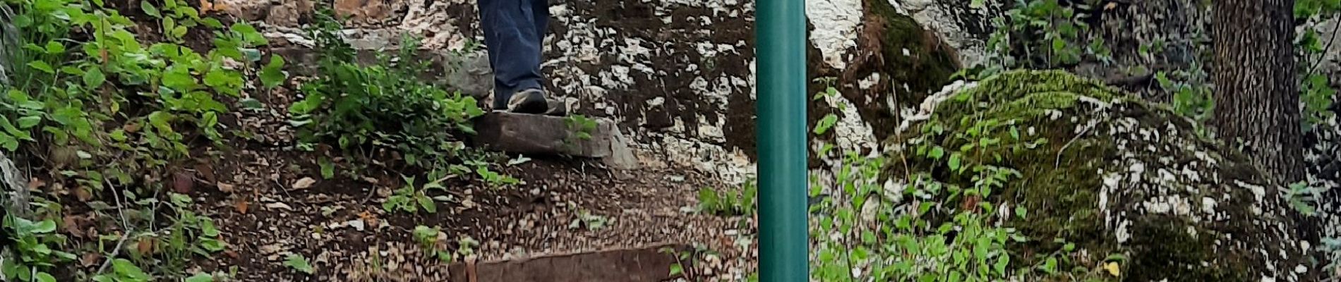
ATTENTION: sentier peu balisé à l'entrée des falaises. Au 13,8km à l'entrée des falaises, prendre à droite impérativement pour rejoindre le bas des falaises chercher les balises blanc/jaune.
A la descente sur Le Pouzin, le sentier est très pentu par endroit, faire très attention.
Rando difficile d'un point de vue technique.
Foto's

Plaatsbepaling
Opmerkingen