


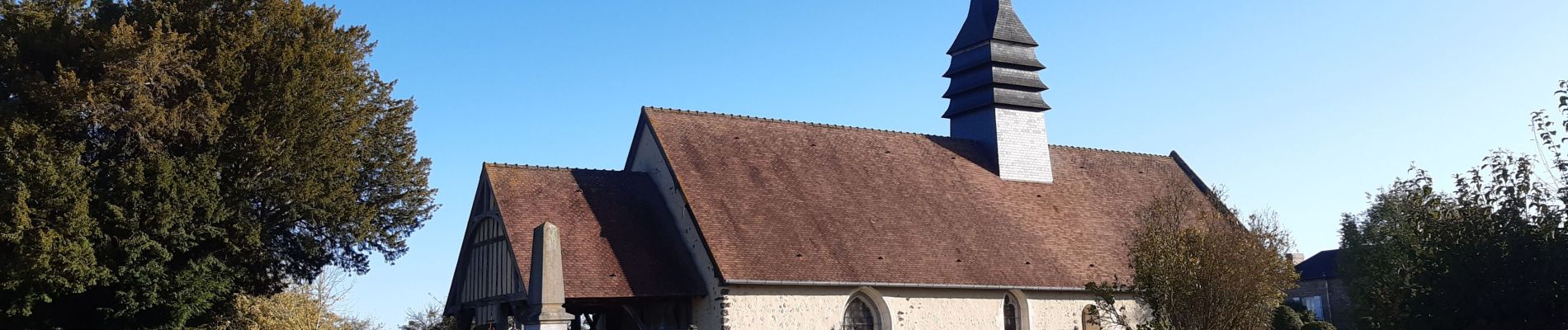
Granchain

werth
Gebruiker
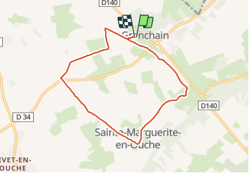

Lengte
7,1 km

Max. hoogte
167 m

Positief hoogteverschil
28 m
Km-Effort
7,5 km

Min. hoogte
157 m

Negatief hoogteverschil
28 m
Boucle
Ja
Datum van aanmaak :
2023-11-07 07:55:13.161
Laatste wijziging :
2023-11-07 15:11:58.333
2h01
Moeilijkheid : Gemakkelijk

Gratisgps-wandelapplicatie
 SityTrail
IGN / Geografische instituten
SityTrail Plus
De wereld gaat voor u open
Over ons
Tocht Stappen van 7,1 km beschikbaar op Normandië, Eure, Mesnil-en-Ouche. Deze tocht wordt voorgesteld door werth.
Foto's

Plaatsbepaling
Land:
France
Regio :
Normandië
Departement/Provincie :
Eure
Gemeente :
Mesnil-en-Ouche
Locatie:
Unknown
Vertrek:(Dec)
Vertrek:(UTM)
328826 ; 5434576 (31U) N.
Opmerkingen