


gavrus08

gr1346
Gebruiker
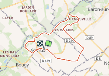

Lengte
8,5 km

Max. hoogte
105 m

Positief hoogteverschil
89 m
Km-Effort
9,7 km

Min. hoogte
45 m

Negatief hoogteverschil
91 m
Boucle
Ja
Datum van aanmaak :
2023-10-20 11:57:01.835
Laatste wijziging :
2023-11-23 17:15:53.055
2h06
Moeilijkheid : Medium

Gratisgps-wandelapplicatie
 SityTrail
IGN / Geografische instituten
SityTrail Plus
De wereld gaat voor u open
Over ons
Tocht Stappen van 8,5 km beschikbaar op Normandië, Calvados, Gavrus. Deze tocht wordt voorgesteld door gr1346.
Beschrijving
rando agréable
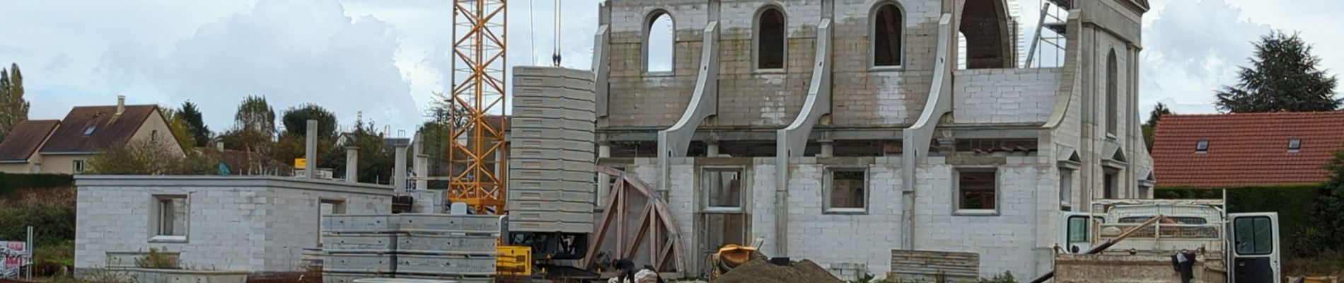
Foto's


Plaatsbepaling
Land:
France
Regio :
Normandië
Departement/Provincie :
Calvados
Gemeente :
Gavrus
Locatie:
Unknown
Vertrek:(Dec)
Vertrek:(UTM)
681469 ; 5443501 (30U) N.
Opmerkingen