


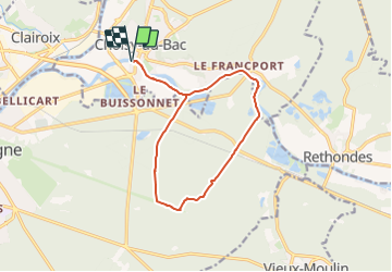

9,6 km | 12,8 km-effort


Gebruiker


Gratisgps-wandelapplicatie
 SityTrail
IGN / Geografische instituten
SityTrail World
De wereld gaat voor u open
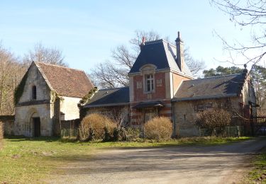
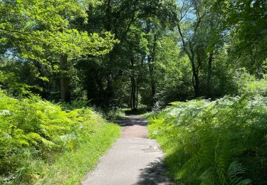
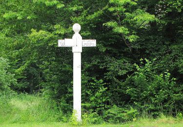
Tocht van 12,5 km beschikbaar op Hauts-de-France, Oise, Choisy-au-Bac. Deze tocht wordt voorgesteld door Roland Degroise.
Stappen
Stappen

Stappen

Stappen

Stappen
Te voet
Te voet
Stappen
Stappen