


quyntifyon enre belle île et île aux corsaires

stef789
Gebruiker GUIDE
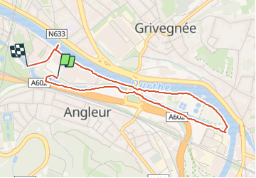

Lengte
4 km

Max. hoogte
76 m

Positief hoogteverschil
32 m
Km-Effort
4,4 km

Min. hoogte
61 m

Negatief hoogteverschil
33 m
Boucle
Neen
Datum van aanmaak :
2024-01-04 13:27:21.147
Laatste wijziging :
2024-01-04 14:33:22.022
1h00
Moeilijkheid : Heel gemakkelijk

Gratisgps-wandelapplicatie
 SityTrail
IGN / Geografische instituten
SityTrail Plus
De wereld gaat voor u open
Over ons
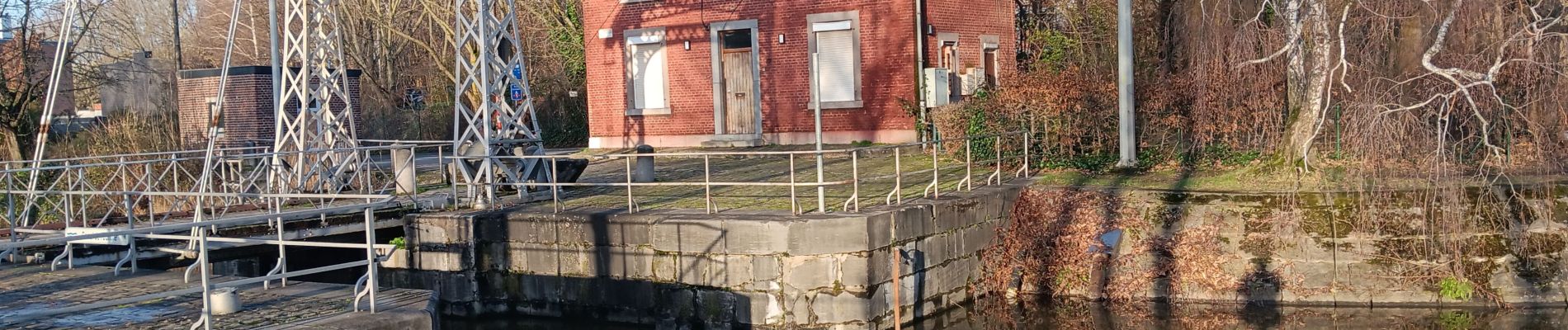
Tocht Stappen van 4 km beschikbaar op Wallonië, Luik, Luik. Deze tocht wordt voorgesteld door stef789.
Foto's


Plaatsbepaling
Land:
Belgium
Regio :
Wallonië
Departement/Provincie :
Luik
Gemeente :
Luik
Locatie:
Angleur
Vertrek:(Dec)
Vertrek:(UTM)
683346 ; 5610279 (31U) N.
Opmerkingen