


Comble en Barrois /L’isle en Rigault

Nono55
Gebruiker

Lengte
9,3 km

Max. hoogte
251 m

Positief hoogteverschil
90 m
Km-Effort
10,8 km

Min. hoogte
166 m

Negatief hoogteverschil
172 m
Boucle
Neen
Datum van aanmaak :
2024-01-09 13:33:49.0
Laatste wijziging :
2024-01-09 22:56:20.309
2h01
Moeilijkheid : Gemakkelijk

Gratisgps-wandelapplicatie
 SityTrail
IGN / Geografische instituten
SityTrail Plus
De wereld gaat voor u open
Over ons
Tocht Stappen van 9,3 km beschikbaar op Grand Est, Meuse, Combles-en-Barrois. Deze tocht wordt voorgesteld door Nono55.
Beschrijving
Chemin très agréable en forêt
Pas difficile
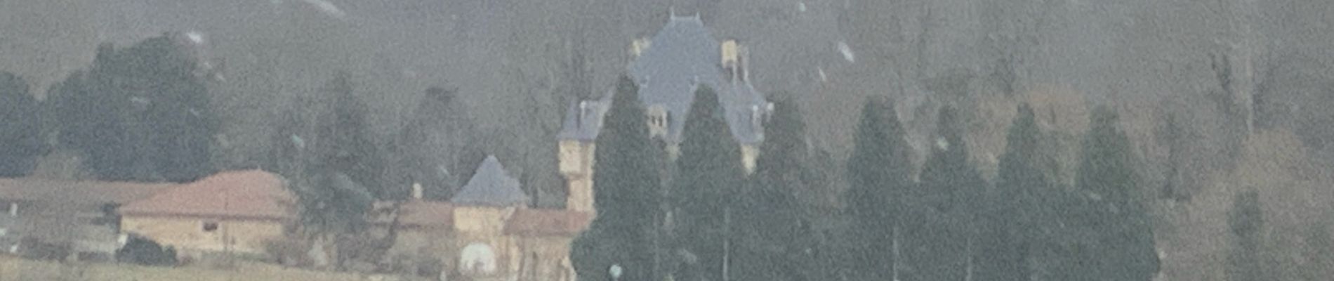
Foto's

Plaatsbepaling
Land:
France
Regio :
Grand Est
Departement/Provincie :
Meuse
Gemeente :
Combles-en-Barrois
Locatie:
Unknown
Vertrek:(Dec)
Vertrek:(UTM)
655467 ; 5401849 (31U) N.
Opmerkingen