


20240130-Lec Bec thomas Cool

doudet
Gebruiker
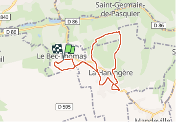

Lengte
7,4 km

Max. hoogte
159 m

Positief hoogteverschil
58 m
Km-Effort
8,2 km

Min. hoogte
135 m

Negatief hoogteverschil
60 m
Boucle
Ja
Datum van aanmaak :
2024-01-30 08:29:00.384
Laatste wijziging :
2024-02-02 06:24:00.309
1h41
Moeilijkheid : Gemakkelijk

Gratisgps-wandelapplicatie
 SityTrail
IGN / Geografische instituten
SityTrail Plus
De wereld gaat voor u open
Over ons
Tocht Stappen van 7,4 km beschikbaar op Normandië, Eure, Le Bec-Thomas. Deze tocht wordt voorgesteld door doudet.
Beschrijving
Boucle A-R au départ de la Mairie
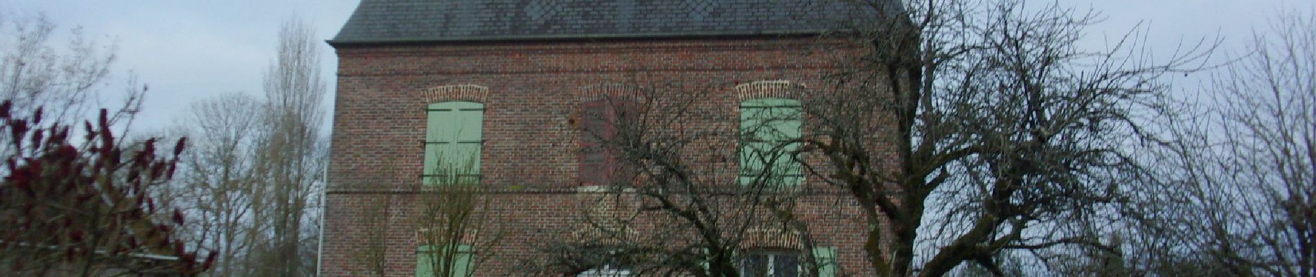
Foto's


24 fotos in totaal. Klik op een foto om ze allemaal in de galerij weer te geven.
Plaatsbepaling
Land:
France
Regio :
Normandië
Departement/Provincie :
Eure
Gemeente :
Le Bec-Thomas
Locatie:
Unknown
Vertrek:(Dec)
Vertrek:(UTM)
352980 ; 5455498 (31U) N.
Opmerkingen