


marche adeps villance

thomas1986
Gebruiker
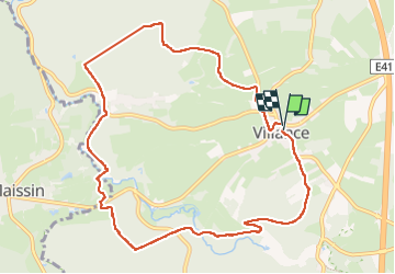

Lengte
9,7 km

Max. hoogte
419 m

Positief hoogteverschil
241 m
Km-Effort
12,9 km

Min. hoogte
324 m

Negatief hoogteverschil
245 m
Boucle
Ja
Datum van aanmaak :
2024-03-10 09:39:46.471
Laatste wijziging :
2024-03-11 06:54:17.875
1h58
Moeilijkheid : Gemakkelijk

Gratisgps-wandelapplicatie
 SityTrail
IGN / Geografische instituten
SityTrail Plus
De wereld gaat voor u open
Over ons
Tocht Stappen van 9,7 km beschikbaar op Wallonië, Luxemburg, Libin. Deze tocht wordt voorgesteld door thomas1986.
Beschrijving
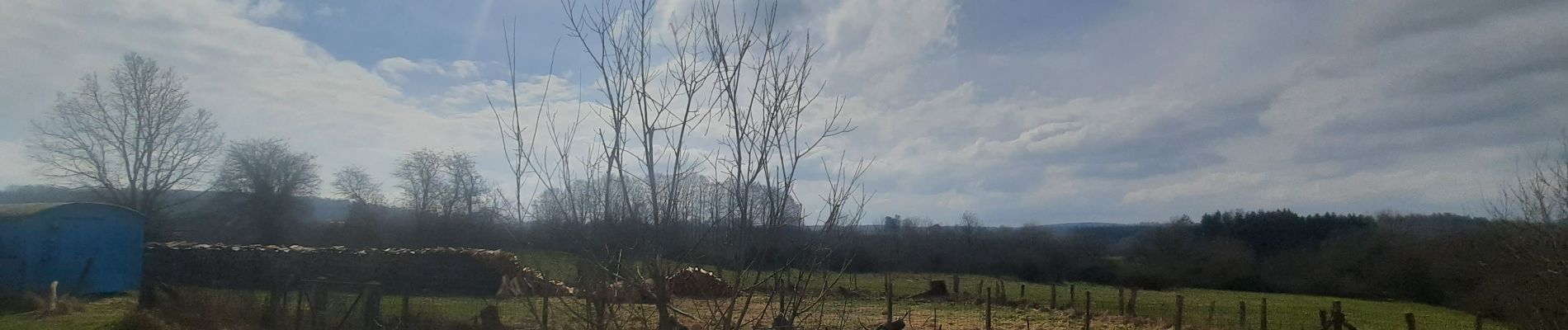
Chemins forestiers
Foto's


Plaatsbepaling
Land:
Belgium
Regio :
Wallonië
Departement/Provincie :
Luxemburg
Gemeente :
Libin
Locatie:
Unknown
Vertrek:(Dec)
Vertrek:(UTM)
659368 ; 5537787 (31U) N.
Opmerkingen