


la calamine - château thor / retour

stef789
Gebruiker GUIDE
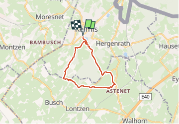

Lengte
10,3 km

Max. hoogte
263 m

Positief hoogteverschil
188 m
Km-Effort
12,8 km

Min. hoogte
181 m

Negatief hoogteverschil
188 m
Boucle
Ja
Datum van aanmaak :
2024-03-21 13:37:18.407
Laatste wijziging :
2024-03-21 16:46:36.785
3h09
Moeilijkheid : Gemakkelijk

Gratisgps-wandelapplicatie
 SityTrail
IGN / Geografische instituten
SityTrail Plus
De wereld gaat voor u open
Over ons
Tocht Stappen van 10,3 km beschikbaar op Wallonië, Luik, Kelmis. Deze tocht wordt voorgesteld door stef789.
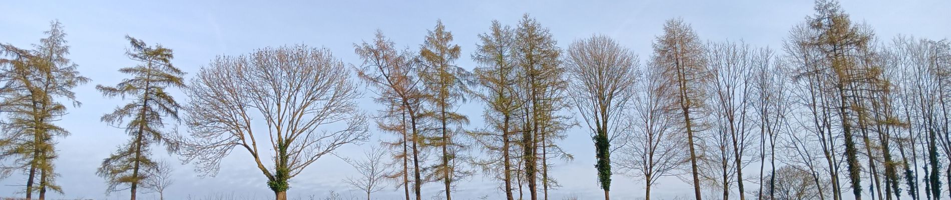
Foto's


37 fotos in totaal. Klik op een foto om ze allemaal in de galerij weer te geven.
Plaatsbepaling
Land:
Belgium
Regio :
Wallonië
Departement/Provincie :
Luik
Gemeente :
Kelmis
Locatie:
Unknown
Vertrek:(Dec)
Vertrek:(UTM)
289002 ; 5622116 (32U) N.
Opmerkingen