


fraiture - plateau des tailles

stef789
Gebruiker GUIDE
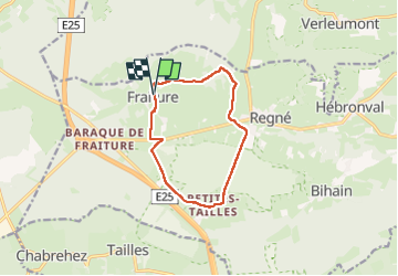

Lengte
9,8 km

Max. hoogte
632 m

Positief hoogteverschil
176 m
Km-Effort
12,1 km

Min. hoogte
476 m

Negatief hoogteverschil
180 m
Boucle
Ja
Datum van aanmaak :
2024-06-09 12:52:34.276
Laatste wijziging :
2024-06-09 15:44:09.401
2h51
Moeilijkheid : Medium

Gratisgps-wandelapplicatie
 SityTrail
IGN / Geografische instituten
SityTrail Plus
De wereld gaat voor u open
Over ons
Tocht Stappen van 9,8 km beschikbaar op Wallonië, Luxemburg, Vielsalm. Deze tocht wordt voorgesteld door stef789.
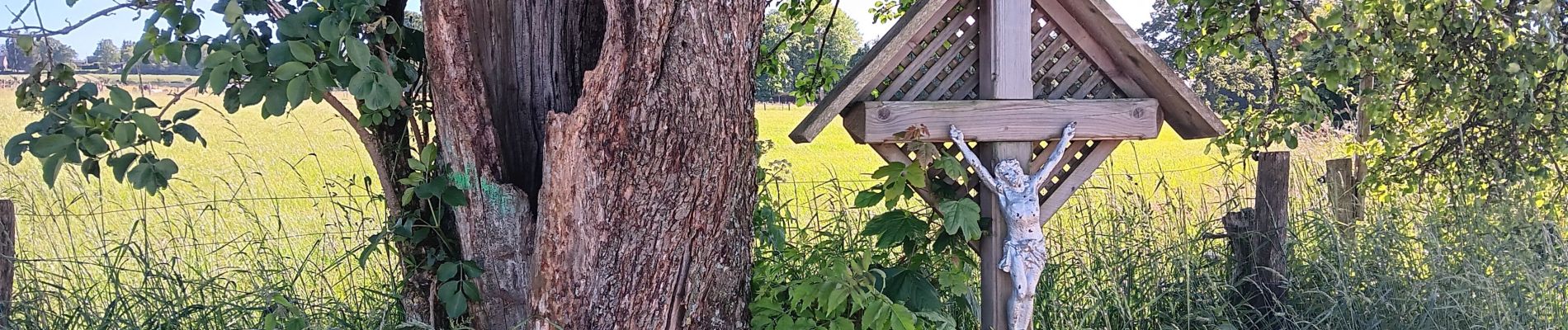
Foto's


28 fotos in totaal. Klik op een foto om ze allemaal in de galerij weer te geven.
Plaatsbepaling
Land:
Belgium
Regio :
Wallonië
Departement/Provincie :
Luxemburg
Gemeente :
Vielsalm
Locatie:
Unknown
Vertrek:(Dec)
Vertrek:(UTM)
696236 ; 5570971 (31U) N.
Opmerkingen