


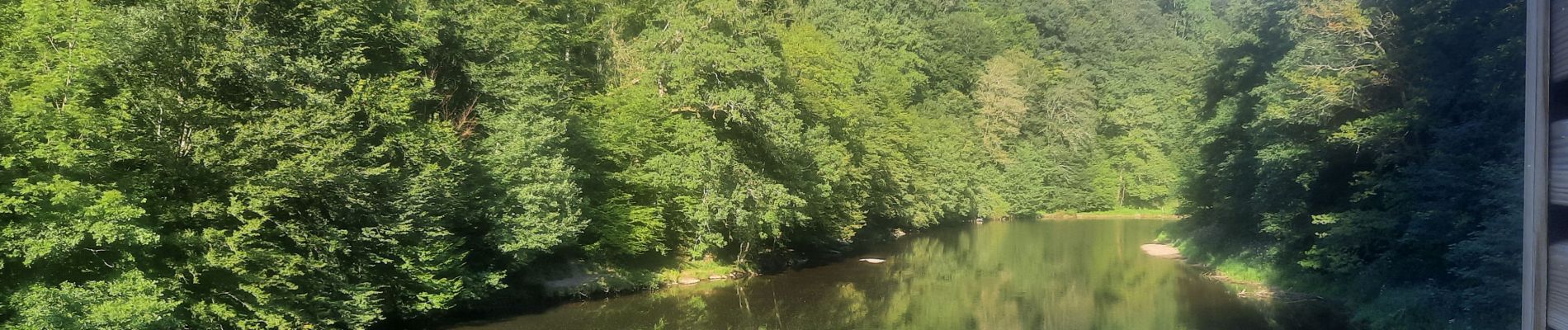
Rocher du pendu

thomas1986
Gebruiker
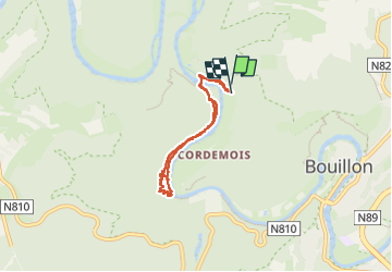

Lengte
5,2 km

Max. hoogte
288 m

Positief hoogteverschil
163 m
Km-Effort
7,3 km

Min. hoogte
211 m

Negatief hoogteverschil
159 m
Boucle
Ja
Datum van aanmaak :
2024-08-12 13:48:40.407
Laatste wijziging :
2024-08-12 16:48:00.589
1h34
Moeilijkheid : Medium

Gratisgps-wandelapplicatie
 SityTrail
IGN / Geografische instituten
SityTrail Plus
De wereld gaat voor u open
Over ons
Tocht Stappen van 5,2 km beschikbaar op Wallonië, Luxemburg, Bouillon. Deze tocht wordt voorgesteld door thomas1986.
Foto's


Plaatsbepaling
Land:
Belgium
Regio :
Wallonië
Departement/Provincie :
Luxemburg
Gemeente :
Bouillon
Locatie:
Unknown
Vertrek:(Dec)
Vertrek:(UTM)
647522 ; 5518704 (31U) N.
Opmerkingen