


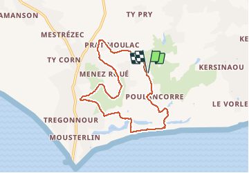
de Kerbader à Mousterlin

ymarvin27
Gebruiker

Lengte
7,5 km

Max. hoogte
15 m

Positief hoogteverschil
28 m
Km-Effort
7,8 km

Min. hoogte
1 m

Negatief hoogteverschil
27 m
Boucle
Ja
Datum van aanmaak :
2015-05-03 00:00:00.0
Laatste wijziging :
2015-05-03 00:00:00.0
1h49
Moeilijkheid : Gemakkelijk

Gratisgps-wandelapplicatie
 SityTrail
IGN / Geografische instituten
SityTrail Plus
De wereld gaat voor u open
Over ons
Tocht Stappen van 7,5 km beschikbaar op Bretagne, Finistère, Fouesnant. Deze tocht wordt voorgesteld door ymarvin27.
Beschrijving
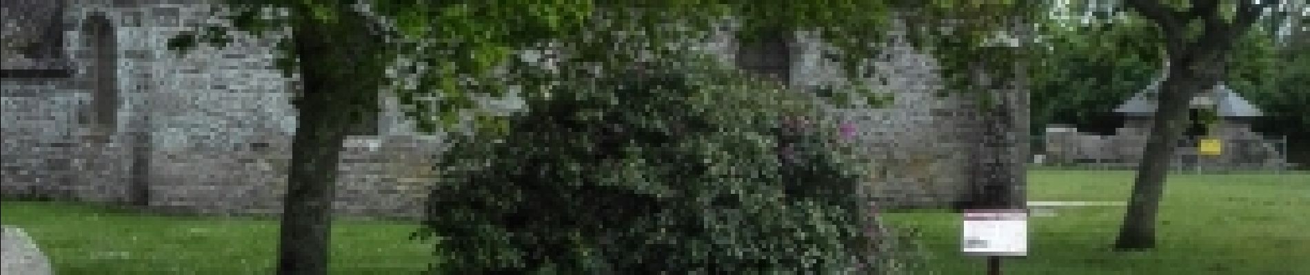
départ chapelle de kerbader. Fouesnant direction Mousterlin puis chapelle. sans balisage.
Foto's


Plaatsbepaling
Land:
France
Regio :
Bretagne
Departement/Provincie :
Finistère
Gemeente :
Fouesnant
Locatie:
Unknown
Vertrek:(Dec)
Vertrek:(UTM)
423534 ; 5301282 (30T) N.
Opmerkingen