


dolembreux - chapli - lince

stef789
Gebruiker GUIDE
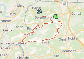

Lengte
13,9 km

Max. hoogte
285 m

Positief hoogteverschil
224 m
Km-Effort
16,9 km

Min. hoogte
167 m

Negatief hoogteverschil
226 m
Boucle
Neen
Datum van aanmaak :
2024-08-24 09:16:39.27
Laatste wijziging :
2024-08-24 12:51:32.144
3h11
Moeilijkheid : Gemakkelijk

Gratisgps-wandelapplicatie
 SityTrail
IGN / Geografische instituten
SityTrail Plus
De wereld gaat voor u open
Over ons
Tocht Stappen van 13,9 km beschikbaar op Wallonië, Luik, Sprimont. Deze tocht wordt voorgesteld door stef789.
Beschrijving
promenade croix jaune 9
excepté entre chapli et lince où je suis passé par le chemin entre les champs
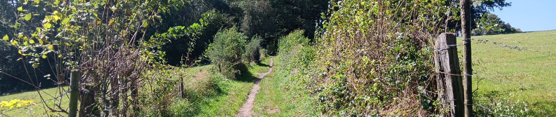
Foto's


28 fotos in totaal. Klik op een foto om ze allemaal in de galerij weer te geven.
Plaatsbepaling
Land:
Belgium
Regio :
Wallonië
Departement/Provincie :
Luik
Gemeente :
Sprimont
Locatie:
Dolembreux
Vertrek:(Dec)
Vertrek:(UTM)
687012 ; 5601170 (31U) N.
Opmerkingen