


Marche Adeps à Gesves 2024

Desrumaux
Gebruiker GUIDE
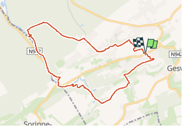

Lengte
9,6 km

Max. hoogte
277 m

Positief hoogteverschil
228 m
Km-Effort
12,7 km

Min. hoogte
182 m

Negatief hoogteverschil
227 m
Boucle
Ja
Datum van aanmaak :
2024-09-01 07:23:37.546
Laatste wijziging :
2024-09-04 14:28:14.607
4h22
Moeilijkheid : Moeilijk

Gratisgps-wandelapplicatie
 SityTrail
IGN / Geografische instituten
SityTrail Plus
De wereld gaat voor u open
Over ons
Tocht Stappen van 9,6 km beschikbaar op Wallonië, Namen, Gesves. Deze tocht wordt voorgesteld door Desrumaux.
Beschrijving
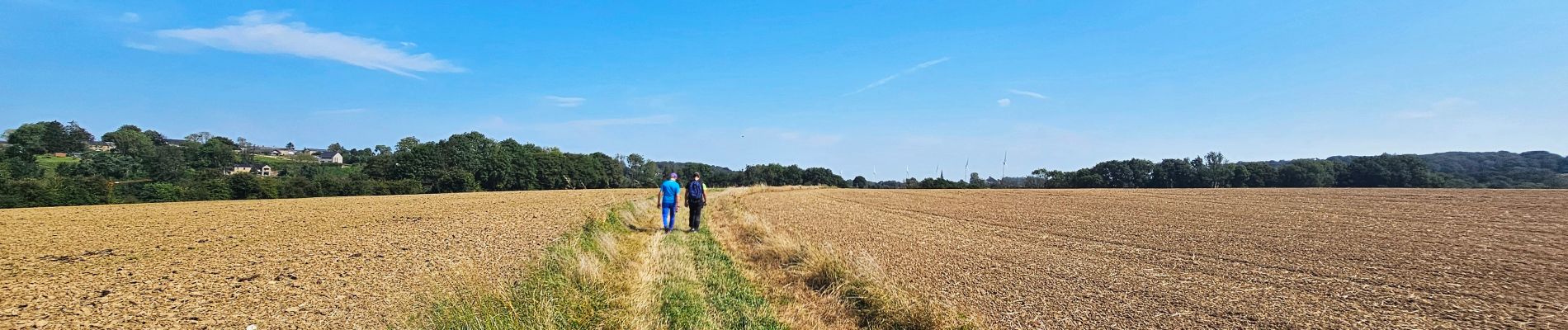
Marche Adeps au départ de la maison communal de Gesves.
Foto's


Plaatsbepaling
Land:
Belgium
Regio :
Wallonië
Departement/Provincie :
Namen
Gemeente :
Gesves
Locatie:
Unknown
Vertrek:(Dec)
Vertrek:(UTM)
646817 ; 5585782 (31U) N.
Opmerkingen