


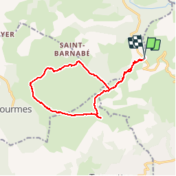


13,1 km | 22 km-effort


Gebruiker


Gratisgps-wandelapplicatie
 SityTrail
IGN / Geografische instituten
SityTrail World
De wereld gaat voor u open
Tocht Andere activiteiten van 15,7 km beschikbaar op Provence-Alpes-Côte d'Azur, Alpes-Maritimes, Vence. Deze tocht wordt voorgesteld door fab4u.

Stappen
Te voet
Te voet
Te voet
Te voet
Te voet
Te voet

Lopen
Stappen
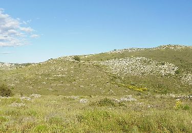
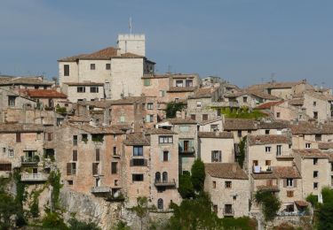
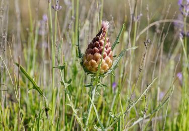
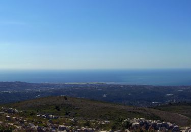
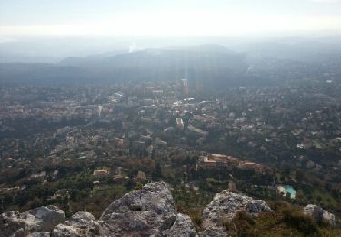
Très belle rando panoramique avec vues sur le littoral et sur le Mercantour dès le départ au col de Vence et quand on arrive au sommet. Stations de Pivoines à admirer et à protéger (ne jamais les cueillir !)