


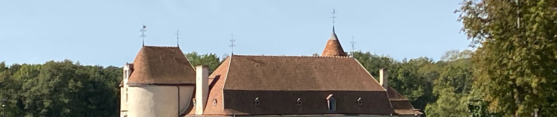
Sob 17 argenton le menoux

Glurps
Gebruiker

Lengte
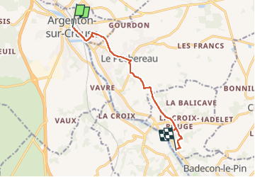
8,3 km

Max. hoogte
165 m

Positief hoogteverschil
95 m
Km-Effort
9,5 km

Min. hoogte
106 m

Negatief hoogteverschil
82 m
Boucle
Neen
Datum van aanmaak :
2024-09-29 09:03:55.0
Laatste wijziging :
2024-09-29 11:07:52.275

Gratisgps-wandelapplicatie
 SityTrail
IGN / Geografische instituten
SityTrail Plus
De wereld gaat voor u open
Over ons
Tocht van 8,3 km beschikbaar op Centre-Val de Loire, Indre, Argenton-sur-Creuse. Deze tocht wordt voorgesteld door Glurps.
Foto's

Plaatsbepaling
Land:
France
Regio :
Centre-Val de Loire
Departement/Provincie :
Indre
Gemeente :
Argenton-sur-Creuse
Locatie:
Unknown
Vertrek:(Dec)
Vertrek:(UTM)
386563 ; 5160528 (31T) N.
Opmerkingen