


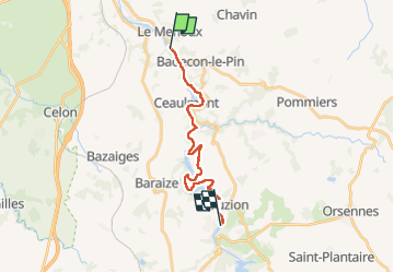
Sob 17 le menoux cuzion

Glurps
Gebruiker

Lengte
16,6 km

Max. hoogte
224 m

Positief hoogteverschil
351 m
Km-Effort
21 km

Min. hoogte
113 m

Negatief hoogteverschil
319 m
Boucle
Neen
Datum van aanmaak :
2024-09-30 07:34:14.0
Laatste wijziging :
2024-09-30 17:05:39.95

Gratisgps-wandelapplicatie
 SityTrail
IGN / Geografische instituten
SityTrail Plus
De wereld gaat voor u open
Over ons
Tocht van 16,6 km beschikbaar op Centre-Val de Loire, Indre, Le Menoux. Deze tocht wordt voorgesteld door Glurps.
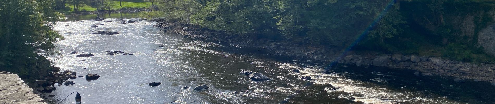
Foto's


Plaatsbepaling
Land:
France
Regio :
Centre-Val de Loire
Departement/Provincie :
Indre
Gemeente :
Le Menoux
Locatie:
Unknown
Vertrek:(Dec)
Vertrek:(UTM)
390364 ; 5155835 (31T) N.
Opmerkingen