


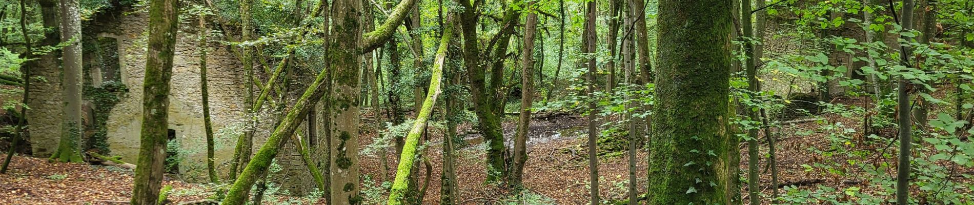
Le chemin des mines

noelphil
Gebruiker
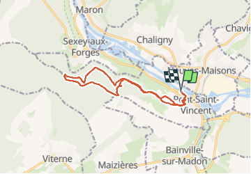

Lengte
13 km

Max. hoogte
372 m

Positief hoogteverschil
271 m
Km-Effort
16,6 km

Min. hoogte
214 m

Negatief hoogteverschil
271 m
Boucle
Ja
Datum van aanmaak :
2024-10-01 11:50:03.487
Laatste wijziging :
2024-10-01 15:30:23.772
3h39
Moeilijkheid : Moeilijk

Gratisgps-wandelapplicatie
 SityTrail
IGN / Geografische instituten
SityTrail Plus
De wereld gaat voor u open
Over ons
Tocht Stappen van 13 km beschikbaar op Grand Est, Meurthe-et-Moselle, Pont-Saint-Vincent. Deze tocht wordt voorgesteld door noelphil.
Foto's


Plaatsbepaling
Land:
France
Regio :
Grand Est
Departement/Provincie :
Meurthe-et-Moselle
Gemeente :
Pont-Saint-Vincent
Locatie:
Unknown
Vertrek:(Dec)
Vertrek:(UTM)
285755 ; 5388016 (32U) N.
Opmerkingen