


Les hauts de Saulniere par chez Rabaud

alainjoseph6
Gebruiker
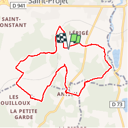

Lengte
10,4 km

Max. hoogte
125 m

Positief hoogteverschil
119 m
Km-Effort
12 km

Min. hoogte
85 m

Negatief hoogteverschil
119 m
Boucle
Ja
Datum van aanmaak :
2015-05-21 00:00:00.0
Laatste wijziging :
2019-02-03 19:03:28.412
2h37
Moeilijkheid : Gemakkelijk

Gratisgps-wandelapplicatie
 SityTrail
IGN / Geografische instituten
SityTrail Plus
De wereld gaat voor u open
Over ons
Tocht Stappen van 10,4 km beschikbaar op Nieuw-Aquitanië, Charente, La Rochefoucauld-en-Angoumois. Deze tocht wordt voorgesteld door alainjoseph6.
Beschrijving
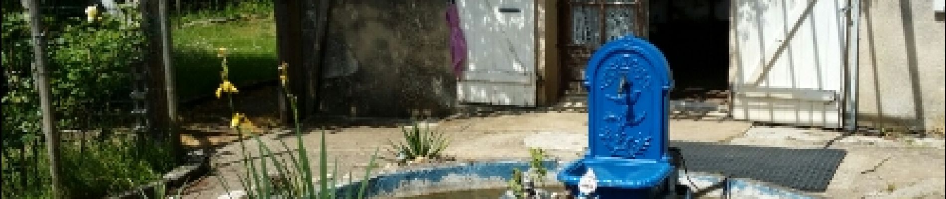
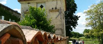
Une balade sympathique entre St Projet et Bunzac
Foto's


Plaatsbepaling
Land:
France
Regio :
Nieuw-Aquitanië
Departement/Provincie :
Charente
Gemeente :
La Rochefoucauld-en-Angoumois
Locatie:
Saint-Projet-Saint-Constant
Vertrek:(Dec)
Vertrek:(UTM)
295055 ; 5066923 (31T) N.
Opmerkingen