


10/11/24 - Aubure

delm
Gebruiker

Lengte
9,6 km

Max. hoogte
1143 m

Positief hoogteverschil
429 m
Km-Effort
15,3 km

Min. hoogte
737 m

Negatief hoogteverschil
430 m
Boucle
Ja
Datum van aanmaak :
2024-11-10 10:54:32.0
Laatste wijziging :
2024-11-10 14:53:55.295

Gratisgps-wandelapplicatie
 SityTrail
IGN / Geografische instituten
SityTrail Plus
De wereld gaat voor u open
Over ons
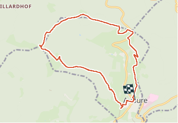
Tocht van 9,6 km beschikbaar op Grand Est, Haut-Rhin, Aubure. Deze tocht wordt voorgesteld door delm.
Beschrijving
Agréable randonnée avec de belles vue
Plaatsbepaling
Land:
France
Regio :
Grand Est
Departement/Provincie :
Haut-Rhin
Gemeente :
Aubure
Locatie:
Unknown
Vertrek:(Dec)
Vertrek:(UTM)
367875 ; 5339784 (32U) N.
Opmerkingen