


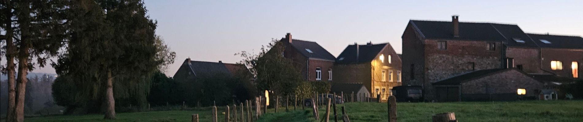
A la découverte de Dalhem 🥾

Ko-Rando
Gebruiker
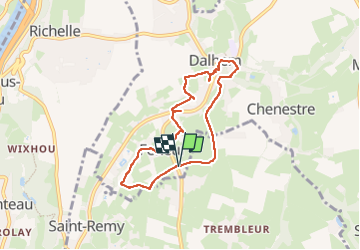

Lengte
6,1 km

Max. hoogte
150 m

Positief hoogteverschil
118 m
Km-Effort
7,7 km

Min. hoogte
90 m

Negatief hoogteverschil
116 m
Boucle
Ja
Datum van aanmaak :
2024-11-04 16:07:06.41
Laatste wijziging :
2024-11-15 11:48:42.481
1h06
Moeilijkheid : Heel gemakkelijk

Gratisgps-wandelapplicatie
 SityTrail
IGN / Geografische instituten
SityTrail Plus
De wereld gaat voor u open
Over ons
Tocht Stappen van 6,1 km beschikbaar op Wallonië, Luik, Dalhem. Deze tocht wordt voorgesteld door Ko-Rando.
Foto's


Plaatsbepaling
Land:
Belgium
Regio :
Wallonië
Departement/Provincie :
Luik
Gemeente :
Dalhem
Locatie:
Unknown
Vertrek:(Dec)
Vertrek:(UTM)
691842 ; 5620253 (31U) N.
Opmerkingen