


Les 3 Fours - Ohneck - Col de Flachimont

alfreson
Gebruiker
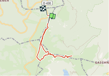

Lengte
7,1 km

Max. hoogte
1355 m

Positief hoogteverschil
260 m
Km-Effort
10,7 km

Min. hoogte
1214 m

Negatief hoogteverschil
284 m
Boucle
Neen
Datum van aanmaak :
2025-01-21 10:05:12.0
Laatste wijziging :
2025-01-21 13:28:08.536
2h41
Moeilijkheid : Medium

Gratisgps-wandelapplicatie
 SityTrail
IGN / Geografische instituten
SityTrail Plus
De wereld gaat voor u open
Over ons
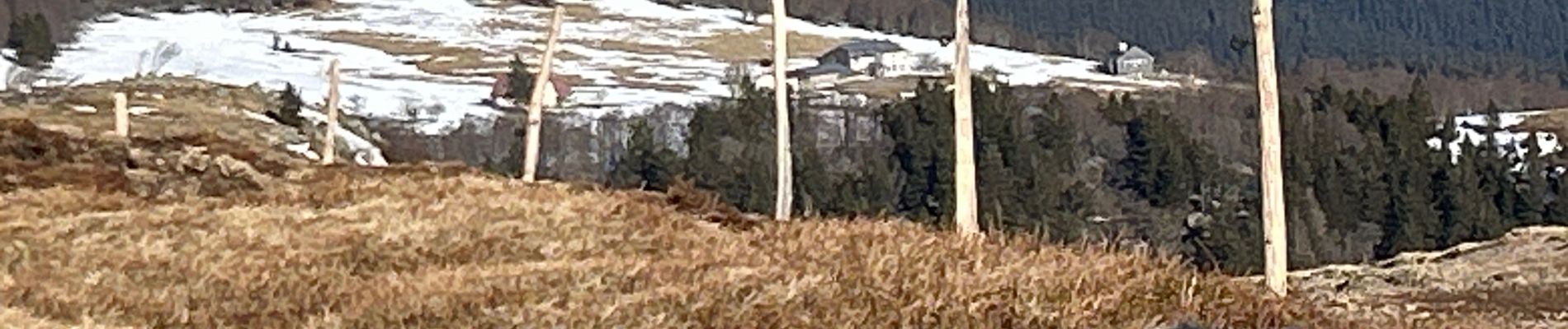
Tocht Stappen van 7,1 km beschikbaar op Grand Est, Haut-Rhin, Stosswihr. Deze tocht wordt voorgesteld door alfreson.
Foto's


Plaatsbepaling
Land:
France
Regio :
Grand Est
Departement/Provincie :
Haut-Rhin
Gemeente :
Stosswihr
Locatie:
Unknown
Vertrek:(Dec)
Vertrek:(UTM)
352077 ; 5323667 (32U) N.
Opmerkingen